.svg)


Why India's public safety market is different
Emergency response in India is defined by scale.
Agencies must often respond simultaneously to disasters affecting densely populated cities, remote rural regions, and rapidly expanding infrastructure networks.
Floods, cyclones, landslides, industrial accidents, and transportation incidents require decision-makers to assess complex situations quickly while coordinating multiple organizations across large operational areas.
These realities are changing how public agencies evaluate UAV technology.
Rather than purchasing drones as standalone equipment, organizations are increasingly investing in operational capabilities that improve emergency coordination, accelerate incident assessment, and strengthen disaster preparedness.
Several national priorities continue to shape this transition:
- public-sector digital transformation;
- disaster resilience;
- infrastructure modernization;
- localization of drone manufacturing;
- regulatory standardization;
- scalable operational deployment.
For technology providers, this means procurement success depends less on aircraft specifications and more on demonstrating measurable operational value.
Procurement pathways that matter
India's UAV ecosystem combines centralized procurement, industrial development, and digital regulation.
Organizations entering the market should understand how these elements work together.
Government e-Marketplace (GeM)
GeM has become the principal procurement platform for public-sector technology acquisition in India.
For UAV companies, participation is about more than responding to tenders.
Organizations should prepare procurement-ready documentation that clearly explains:
- operational capability;
- deployment methodology;
- emergency-response use cases;
- implementation approach;
- long-term support.
Well-structured operational narratives are often more persuasive than product-focused marketing.
Digital Sky
Digital Sky provides the regulatory framework for UAV registration, operational permissions and compliance.
For organizations planning large-scale deployments, understanding Digital Sky requirements is essential for building operationally sustainable programs rather than isolated demonstrations.
Drone Production Linked Incentive (PLI) Scheme
India's Drone PLI Scheme reflects the government's long-term commitment to developing a domestic UAV ecosystem.
For international companies, this highlights the importance of:
- localization strategies;
- partnerships with Indian organizations;
- technology transfer where appropriate;
- contribution to the national drone ecosystem.
Procurement competitiveness increasingly depends on demonstrating how a solution supports India's broader industrial objectives as well as operational needs.
Where UAV mapping delivers the highest operational value
India's public safety agencies are increasingly deploying UAV technologies to improve operational decision-making during large-scale emergencies.
Rather than replacing traditional response methods, autonomous aerial mapping provides incident commanders with faster access to reliable information, enabling better coordination across complex and rapidly evolving situations.
The strongest applications consistently improve visibility, reduce response time, and support more effective resource deployment.
Flood and monsoon response
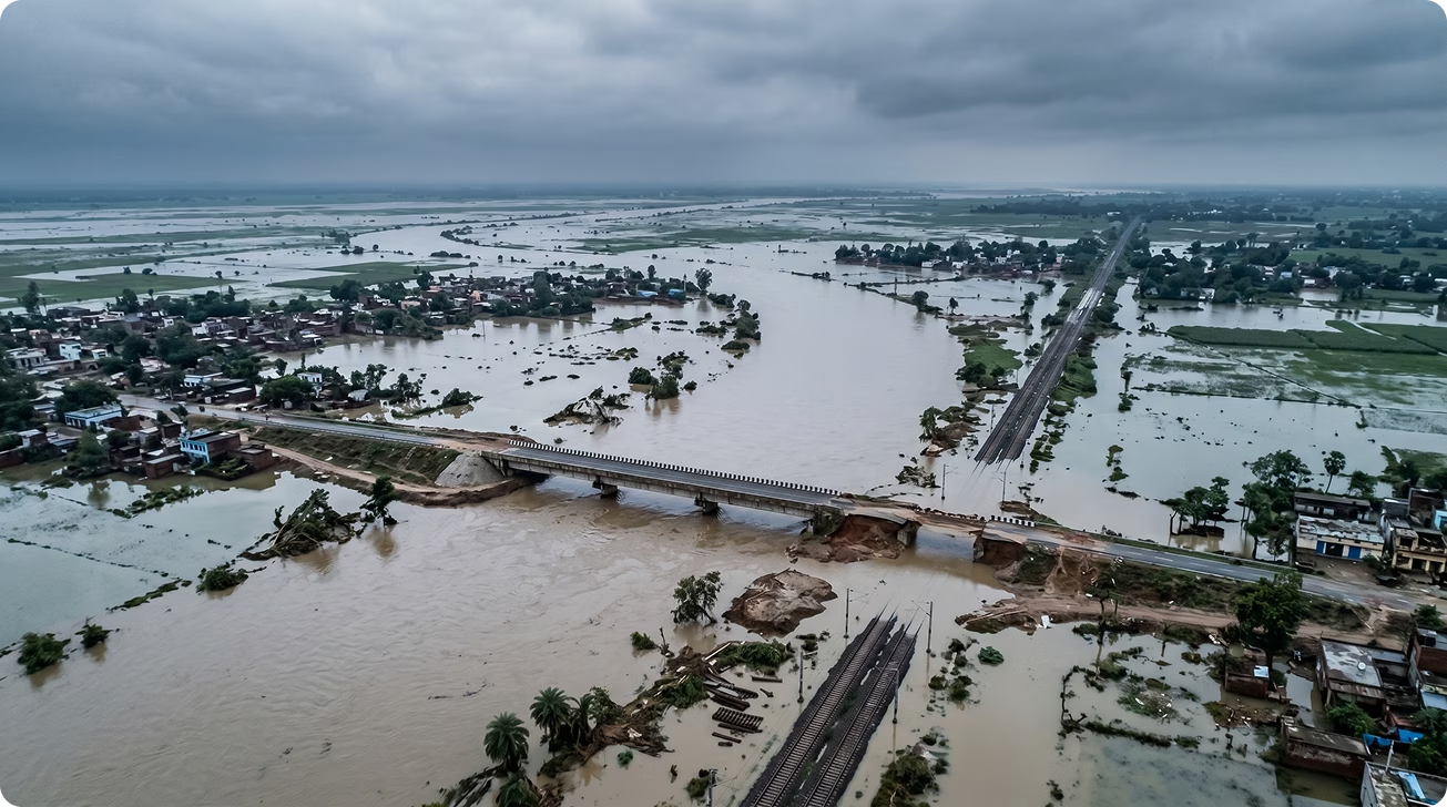
Seasonal flooding remains one of India's most significant emergency-response challenges.
Heavy rainfall can rapidly affect transportation networks, isolate communities, and damage critical infrastructure, often making ground assessment difficult during the first hours of an incident.
Autonomous UAV mapping supports:
- flood extent assessment;
- evacuation route planning;
- bridge and road inspections;
- identification of isolated communities;
- monitoring of critical infrastructure;
- recurring flood progression analysis.
Rapid aerial intelligence allows emergency managers to prioritize resources before access conditions deteriorate further.
Urban disaster assessment
India's rapidly growing cities create complex emergency environments where infrastructure failures, industrial accidents, and urban fires require immediate situational awareness.
UAV mapping enables responders to:
- assess affected areas;
- identify access routes;
- evaluate structural damage;
- monitor evolving hazards;
- coordinate multiple response agencies.
Earlier operational visibility supports faster command decisions while reducing uncertainty during the first operational period.
Infrastructure and transportation incidents
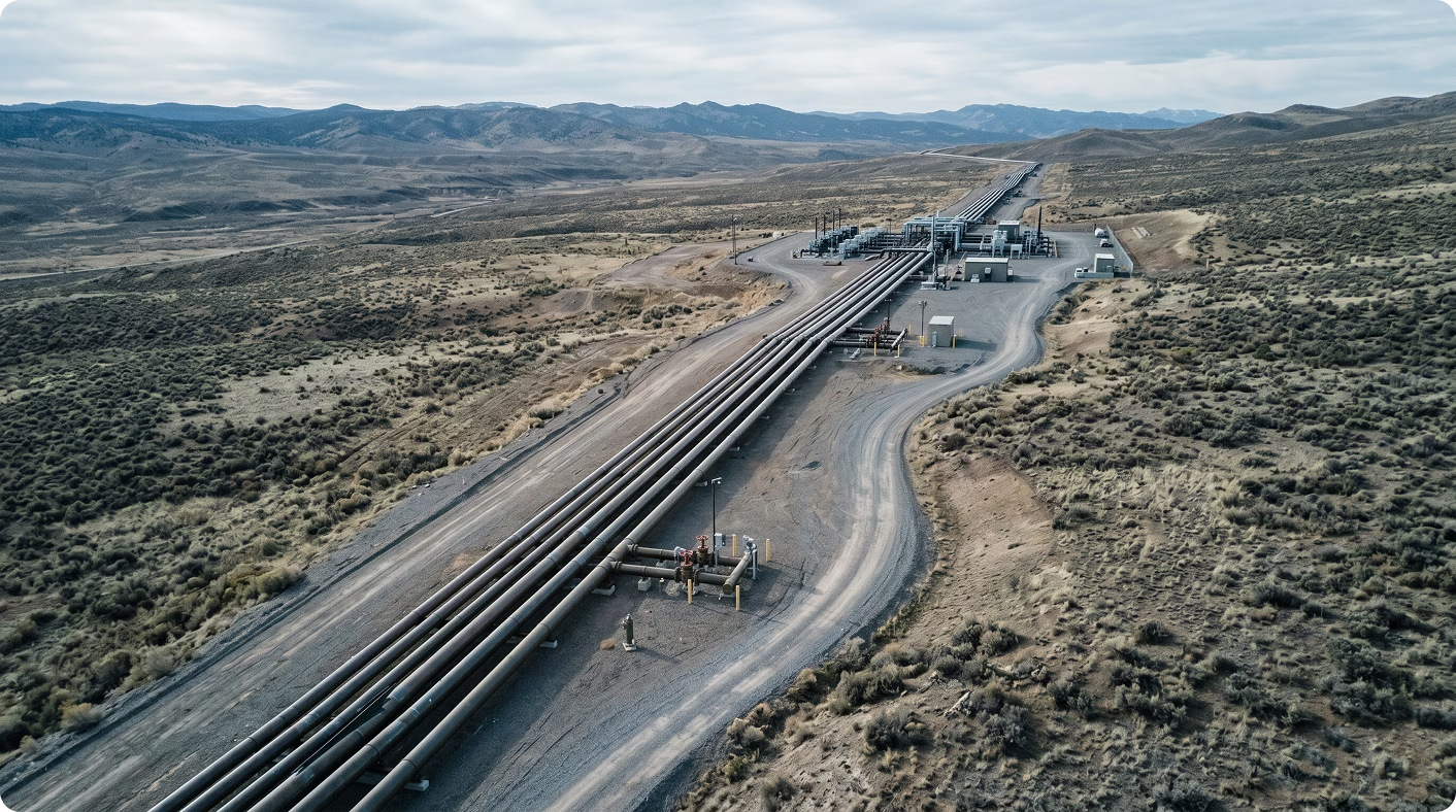
India's expanding highway, railway, and utility networks require emergency responders to manage incidents affecting geographically extensive infrastructure.
Autonomous aerial observation supports:
- railway incident assessment;
- highway disruption monitoring;
- utility infrastructure evaluation;
- industrial corridor inspections;
- transportation route planning.
Repeatable mapping missions improve coordination between infrastructure operators and emergency services.
Cyclones and severe weather events
Coastal regions regularly experience severe weather events that affect multiple districts simultaneously.
Following landfall, agencies require immediate information regarding:
- infrastructure damage;
- blocked transportation routes;
- flooding;
- community access;
- priority response areas.
Autonomous UAV mapping provides rapid operational awareness before large-scale ground deployments begin.
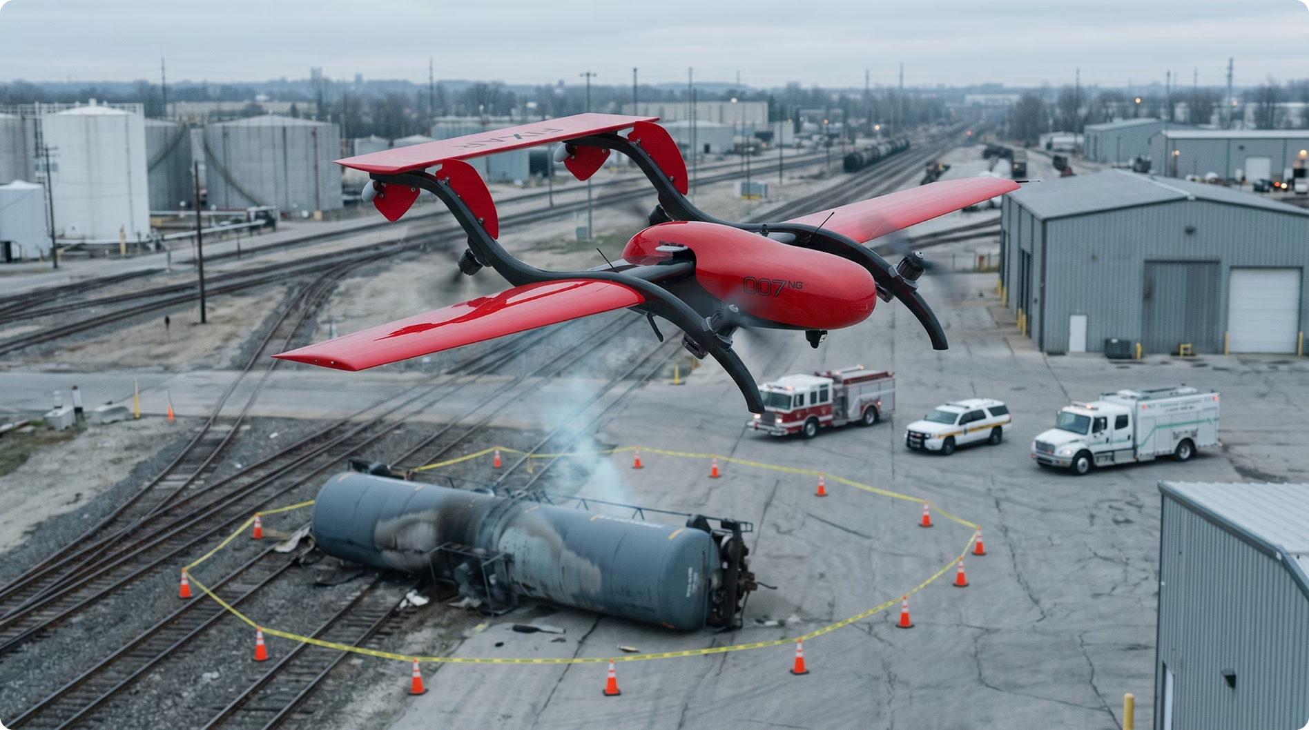
Industrial and environmental emergencies
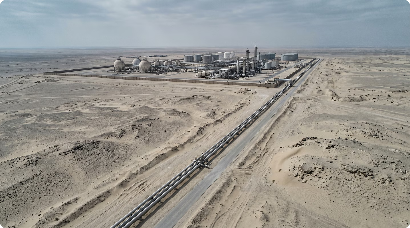
India's industrial growth has increased the importance of rapid assessment following chemical incidents, utility failures, and environmental emergencies.
Structured aerial observation supports:
- incident perimeter assessment;
- infrastructure monitoring;
- environmental impact evaluation;
- operational planning;
- recovery coordination.
Earlier information improves both responder safety and overall incident management.
Building a strong procurement proposal
Public-sector procurement increasingly focuses on operational outcomes rather than technology acquisition.
Organizations are most successful when they demonstrate how UAV mapping strengthens emergency management capabilities at scale.
Start with the operational challenge
Every proposal should clearly explain the problem the organization intends to solve.
Examples include:
- delayed disaster assessment;
- limited situational awareness;
- complex urban emergencies;
- flood response;
- infrastructure damage evaluation;
- large-scale coordination challenges.
A clearly defined operational challenge creates a stronger procurement narrative than a detailed description of UAV hardware.
Demonstrate operational scalability
One of India's defining procurement priorities is scalability.
Solutions should explain how mapping workflows can be deployed consistently across:
- multiple districts;
- different states;
- emergency management agencies;
- disaster-response organizations;
- infrastructure operators.
Scalable operational models are generally more attractive than isolated pilot projects.
Align with existing emergency management workflows
UAV mapping should strengthen established disaster-response procedures rather than create parallel systems.
Organizations should demonstrate how aerial intelligence supports:
- Emergency Operations Centres;
- disaster management authorities;
- first responders;
- infrastructure operators;
- interagency coordination.
Integration into existing workflows increases procurement confidence.
Build a localization strategy
Localization is increasingly important for long-term participation in India's UAV ecosystem.
Organizations should explain how they intend to support local capability through:
- partnerships;
- system integration;
- training;
- technical support;
- ecosystem collaboration.
This strengthens both procurement positioning and long-term market credibility.
Prepare procurement-ready documentation
Strong public-sector proposals include more than technical specifications.
Organizations should prepare:
- operational concepts;
- deployment plans;
- mapping workflows;
- implementation methodology;
- lifecycle support strategy;
- procurement documentation.
Well-structured documentation demonstrates operational maturity and reduces implementation risk.
How FIXAR supports disaster response operations
Emergency-response organizations require more than UAV hardware.
They need a platform that enables rapid deployment, standardized workflows, and consistent operational performance across a wide range of incident types.
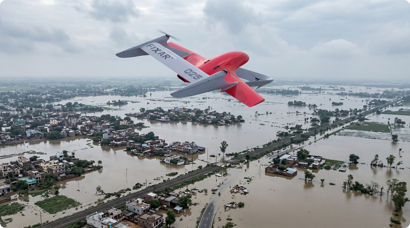
FIXAR has been designed to support these requirements.
Rather than focusing on individual flights, the platform enables agencies to build repeatable aerial mapping programs that integrate into existing emergency-response operations.
Supporting rapid disaster assessment
The first hours of an emergency are often the most critical.
FIXAR enables organizations to establish autonomous mapping missions that support:
- flood assessment;
- cyclone response;
- infrastructure inspections;
- industrial incident assessment;
- evacuation planning;
- post-disaster reconnaissance.
Earlier situational awareness helps incident commanders prioritize resources more effectively.
Standardizing mapping workflows
As UAV programs expand across different jurisdictions, consistency becomes increasingly important.
FIXAR enables agencies to develop standardized mission templates that improve:
- mapping consistency;
- operational efficiency;
- data comparability;
- training quality;
- interagency cooperation.
Repeatable workflows also simplify long-term program management.
Supporting multi-agency coordination
Large emergencies frequently require cooperation between national, state, and local organizations.
By producing structured aerial information through repeatable workflows, FIXAR supports:
- shared situational awareness;
- coordinated planning;
- infrastructure assessments;
- disaster recovery activities;
- operational briefings.
This contributes to more effective decision-making across multiple organizations.
Reducing operational complexity
Emergency-response personnel should focus on managing incidents, not on complex flight planning.
FIXAR's autonomous mission planning minimizes manual preparation and enables operators to conduct recurring mapping missions with greater consistency.
For organizations operating under significant time pressure, reducing operational workload is a critical advantage.
Frequently Asked Questions
What is GeM?
The Government e-Marketplace (GeM) is India's central procurement platform for public-sector purchasing. It enables government organizations to acquire technology, equipment, and services through standardized procurement processes.
What is Digital Sky?
Digital Sky is India's national digital platform for UAV registration, operational permissions, and regulatory compliance. It plays a central role in enabling lawful and scalable drone operations.
What is the Drone PLI Scheme?
The Drone Production Linked Incentive (PLI) Scheme supports domestic drone manufacturing and ecosystem development. It encourages local production, value creation, and long-term growth of India's UAV industry.
What makes a strong public-sector UAV proposal?
Successful proposals focus on operational outcomes such as improved disaster response, faster situational awareness, stronger interagency coordination, and scalable deployment. They also include implementation plans covering training, maintenance, and long-term operational support.
Why are UAVs becoming more important for disaster response?
Natural disasters often evolve faster than traditional ground assessments can provide actionable information. UAV mapping enables agencies to assess affected areas more quickly and allocate resources more effectively.
How does FIXAR support disaster-response operations?
FIXAR enables organizations to build standardized autonomous mapping programs through repeatable mission planning and structured workflows, helping agencies improve operational awareness while simplifying deployment across diverse emergency scenarios.
Conclusion
India's UAV market is entering a new phase of maturity. Public-sector organizations are moving beyond technology demonstrations toward scalable operational programs that strengthen disaster preparedness, infrastructure resilience, and emergency coordination.
Organizations that present UAVs as an operational capability, rather than simply as aircraft, will be better positioned to participate in India's evolving procurement ecosystem.
For technology providers, long-term success will depend on demonstrating practical deployment models, supporting localization strategies, and enabling repeatable workflows that can scale across India's complex public-sector environment.
Ready to build a procurement-ready UAV program for India?
Whether your organization is preparing for GeM procurement, developing partnerships under India's localization initiatives, or expanding disaster-response capabilities, FIXAR can help you build a scalable, procurement-ready UAV solution.
Our team supports partners with:
- procurement-ready technical documentation;
- operational concept development;
- autonomous mapping workflow design;
- implementation planning;
- localization and integration strategies;
- technical support for public-sector deployments.
Contact the FIXAR team to discuss how autonomous UAV mapping can strengthen your disaster-response capability and support long-term public-sector deployment in India.


.svg)