.svg)
Why infrastructure survey matters in Argentina
Argentina's strategic industries operate across some of South America's most geographically challenging environments.
Mining operations extend across the Andes and high-altitude regions. Energy infrastructure covers vast distances through remote landscapes. Industrial development increasingly requires reliable monitoring of construction sites, utility corridors, and supporting infrastructure.
In these environments, organizations face a common challenge:
How can they maintain accurate visibility across large assets without increasing inspection costs and operational delays?
Traditional survey methods often require significant field resources, lengthy travel times, and repeated site visits.
Autonomous UAV operations offer a more efficient approach by enabling organizations to collect consistent aerial data, monitor infrastructure progress and improve operational awareness through structured, repeatable workflows.
Rather than replacing engineering teams or survey specialists, UAV programs strengthen decision-making by providing timely, standardized information throughout the asset lifecycle.
Argentina's procurement and innovation ecosystem
A combination of public procurement shapes Argentina's UAV market, applied innovation, and industrial modernization initiatives.
Organizations that align UAV deployments with infrastructure development, productivity improvements, and operational modernization are generally better positioned than those presenting drone technology as an end in itself.
Several mechanisms are particularly relevant for infrastructure survey projects.
COMPR.AR
COMPR.AR is Argentina's national electronic procurement platform and the primary gateway for public-sector purchasing.
For technology providers, the platform represents more than a source of tenders.
It provides insight into government priorities related to infrastructure modernization, engineering services, and technology acquisition.
Organizations preparing for long-term participation should develop procurement-ready documentation that clearly explains:
- operational outcomes;
- implementation methodology;
- infrastructure survey workflows;
- deployment planning;
- long-term support.
Solutions presented around operational value are typically more competitive than proposals centered solely on equipment specifications.
Agencia I+D+i
Argentina's National Agency for Research, Technological Development, and Innovation supports projects that strengthen technological capability and industrial competitiveness.
For organizations developing UAV-based survey solutions, this creates opportunities to position autonomous operations as tools that improve productivity, infrastructure management, and applied innovation.
Collaborative projects involving industry, research organizations, and technology providers are often well aligned with the agency's objectives.
FONTAR
FONTAR continues to play an important role in supporting technology adoption across productive sectors.
Projects that improve operational efficiency, digital transformation, and industrial modernization may benefit from funding mechanisms designed to accelerate technology implementation.
For UAV developers, this reinforces the importance of positioning autonomous survey workflows as part of broader infrastructure modernization strategies rather than isolated drone projects.
Where infrastructure survey delivers the greatest operational value
Across Argentina's energy, mining, and industrial sectors, infrastructure surveys are becoming an essential operational capability rather than an occasional engineering activity.
Operators need reliable, repeatable methods for monitoring assets spread across vast territories, supporting project planning, and improving visibility throughout the infrastructure lifecycle.
Autonomous UAV surveys provide organizations with timely aerial intelligence while reducing the time, cost, and complexity associated with traditional field inspections.
The following applications consistently demonstrate the greatest operational value.
Mining operations
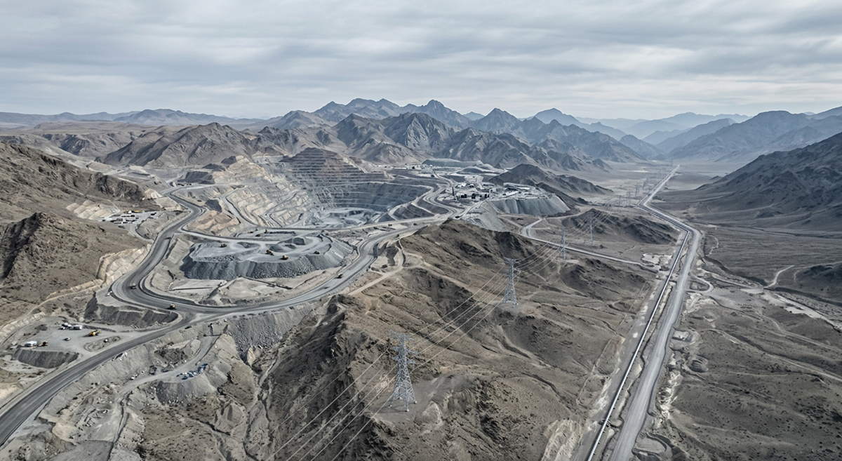
Argentina's mining industry operates across remote regions where terrain, altitude, and limited accessibility make routine surveying both expensive and time-consuming.
Autonomous UAV surveys support:
- site planning;
- haul road monitoring;
- stockpile measurement;
- pit progression analysis;
- environmental monitoring;
- infrastructure documentation.
By providing repeatable aerial datasets, organizations can improve planning while reducing the number of manual site visits required.
Energy infrastructure
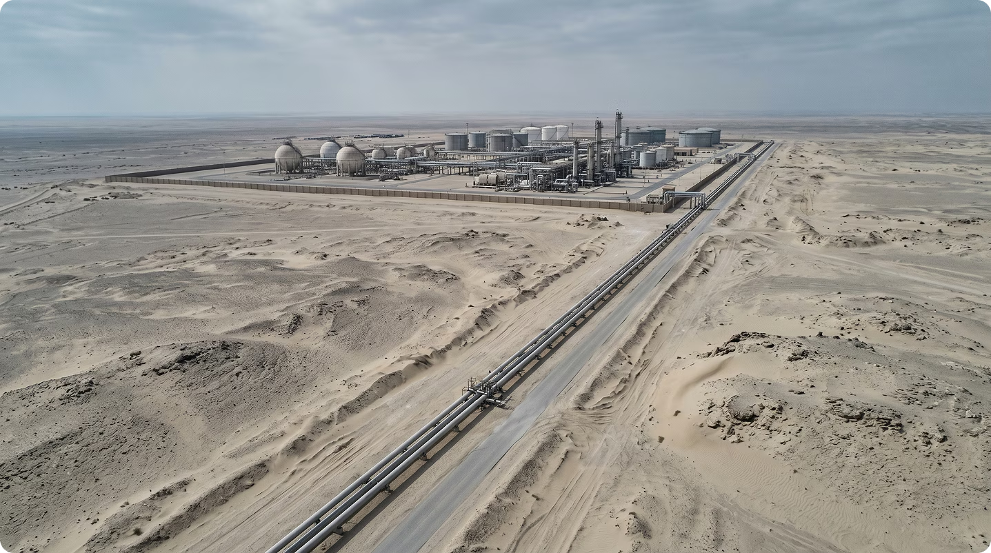
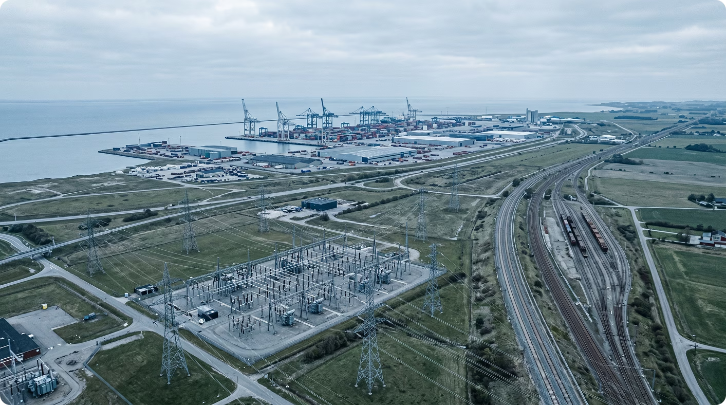
Energy assets are frequently distributed across large geographic areas, requiring recurring inspections and accurate infrastructure visibility.
UAV survey workflows support:
- transmission corridors;
- substations;
- renewable energy facilities;
- construction progress monitoring;
- access route assessment;
- supporting infrastructure documentation.
Structured aerial surveys help operators maintain a more complete understanding of asset conditions while improving planning for maintenance and expansion projects.
Pipeline and utility corridors
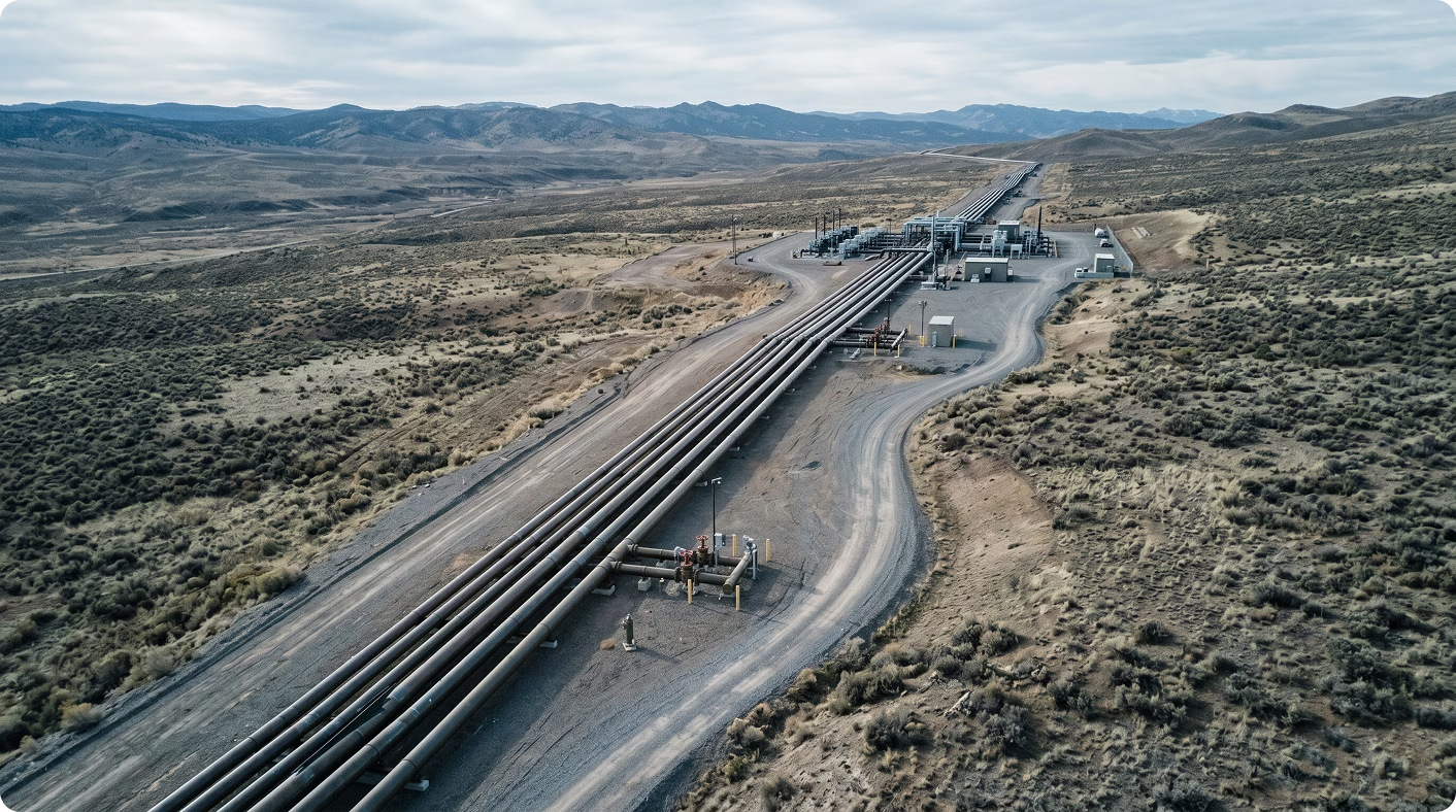
Linear infrastructure presents unique operational challenges due to its scale and location.
Traditional inspections often require extensive travel and significant field resources.
Autonomous UAV operations enable organizations to:
- document corridor conditions;
- monitor construction progress;
- identify changes along access routes;
- support maintenance planning;
- improve infrastructure visibility.
Repeatable survey missions also create consistent historical records that support long-term asset management.
Industrial construction projects
Engineering and construction teams increasingly rely on aerial data to monitor project development and coordinate multiple contractors working across complex sites.
Autonomous surveys support:
- earthworks monitoring;
- construction progress reporting;
- site documentation;
- logistics planning;
- contractor coordination.
Standardized aerial datasets improve communication between project stakeholders while providing consistent records throughout construction.
Renewable energy development
Argentina continues to expand investment in renewable energy projects, many of which are located in remote environments.
During planning, construction, and operation, UAV surveys help organizations monitor:
- site preparation;
- installation progress;
- supporting infrastructure;
- access roads;
- surrounding environmental conditions.
Repeatable survey workflows provide valuable information throughout the entire project lifecycle.
Building a strong procurement and innovation proposal
Organizations rarely secure procurement opportunities because they use UAVs.
They succeed because they demonstrate how autonomous survey programs improve operational efficiency, infrastructure management, and industrial productivity.
The strongest proposals consistently focus on business outcomes rather than technology alone.
Start with the operational challenge
Every proposal should begin by defining the infrastructure problem the organization is solving.
Examples include:
- limited visibility across remote assets;
- inefficient field surveys;
- recurring infrastructure inspections;
- delayed construction reporting;
- difficult terrain;
- high operational costs.
Clearly defining the challenge creates a stronger procurement and innovation narrative.
Demonstrate measurable operational benefits
Organizations should explain how UAV surveys improve:
- project visibility;
- engineering efficiency;
- inspection frequency;
- operational planning;
- infrastructure documentation;
- decision-making.
Operational improvements are generally more persuasive than detailed aircraft specifications.
Align with industrial modernization
Argentina's innovation ecosystem increasingly supports projects that strengthen productivity and digital transformation.
Organizations should demonstrate how autonomous survey workflows contribute to:
- infrastructure modernization;
- digital asset management;
- engineering efficiency;
- operational resilience;
- technology adoption.
This alignment strengthens both procurement and innovation proposals.
Build local partnerships
Projects involving engineering firms, infrastructure operators, mining companies, and research organizations often present stronger implementation strategies.
Local collaboration improves operational credibility while supporting technology adoption within Argentina's industrial ecosystem.
Prepare procurement-ready documentation
Well-structured documentation remains one of the strongest indicators of project maturity.
Organizations should prepare:
- operational concepts;
- survey methodologies;
- implementation plans;
- technical specifications;
- lifecycle support strategy;
- deployment roadmap.
Clear documentation reduces implementation risk while strengthening procurement readiness.
How FIXAR supports infrastructure survey operations
Infrastructure surveys require more than accurate flight performance.
Organizations need repeatable operational workflows that deliver reliable aerial information while remaining practical for large-scale deployment.
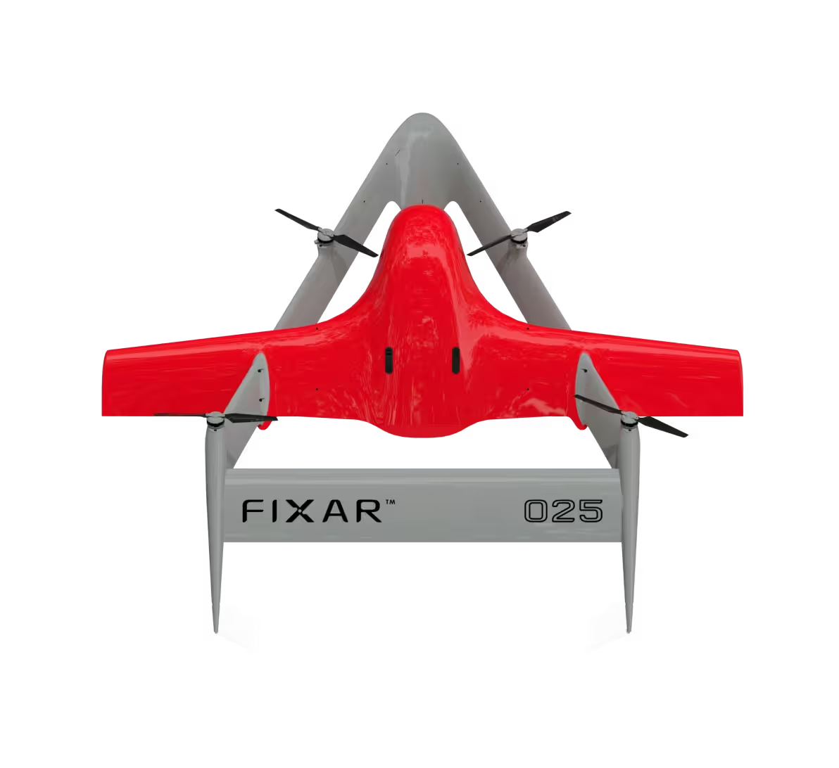
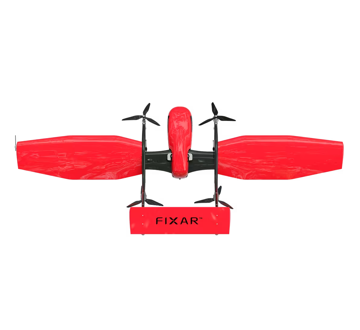
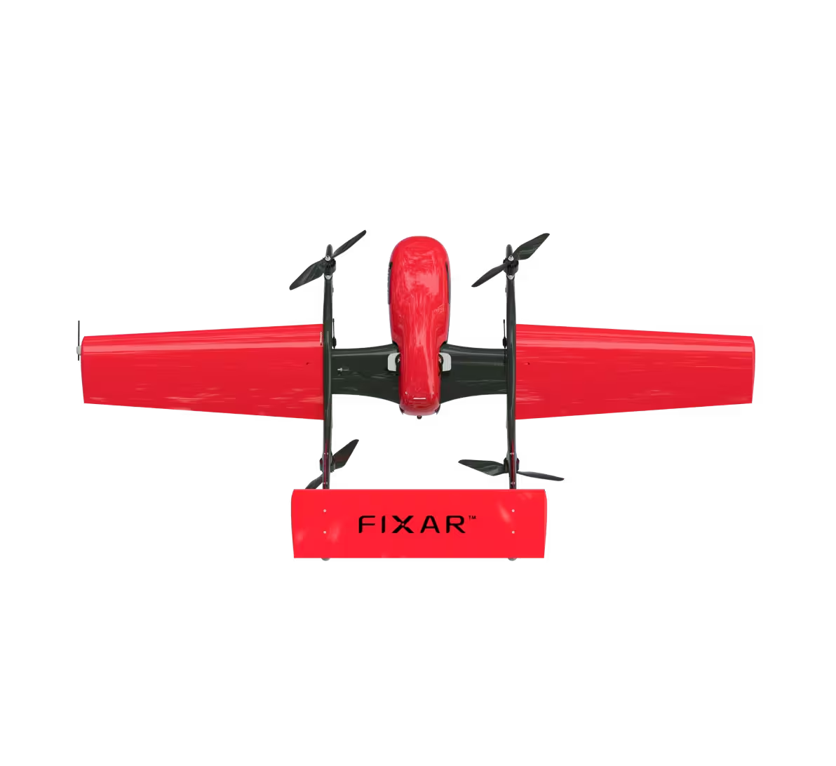
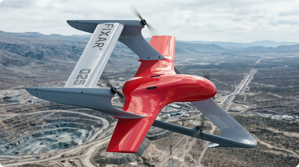
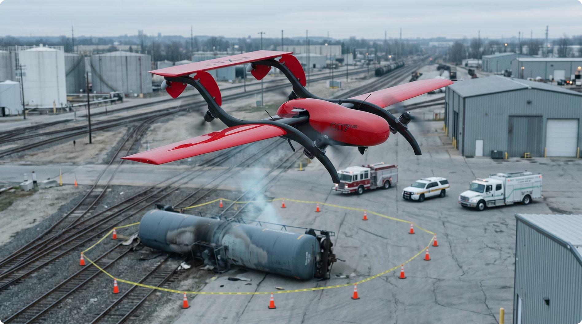
FIXAR has been developed to support these operational priorities.
Rather than focusing on individual flights, the platform enables engineering teams and infrastructure operators to establish standardized autonomous survey programs that improve visibility across complex assets.
Supporting large infrastructure projects
Large infrastructure developments often require recurring aerial surveys throughout planning, construction, and operation.
FIXAR enables organizations to perform autonomous missions supporting:
- engineering surveys;
- construction monitoring;
- corridor inspections;
- industrial site documentation;
- renewable energy projects;
- mining operations.
Standardized workflows help project teams maintain consistent information throughout every stage of development.
Standardizing survey operations
Consistency is essential when multiple teams work across different sites.
FIXAR enables organizations to create repeatable mission templates that improve:
- survey consistency;
- engineering efficiency;
- data comparability;
- project coordination;
- operator productivity.
Standardized workflows simplify both field operations and long-term asset management.
Improving infrastructure visibility
Infrastructure managers require timely information to support planning and operational decisions.
Autonomous survey missions help organizations maintain an up-to-date understanding of asset conditions, construction progress, and operational changes without increasing the burden on field personnel.
Earlier access to reliable information supports better engineering decisions while reducing delays.
Reducing fieldwork
Remote surveys often involve difficult terrain, long travel times, and significant logistical effort.
FIXAR reduces the need for repeated manual site visits by enabling autonomous aerial data collection that can be performed consistently across multiple locations.
This allows engineering teams to focus on analysis and project execution rather than routine field activities.
Frequently Asked Questions
What is COMPR.AR?
COMPR.AR is Argentina's national electronic procurement platform used by public-sector organizations to manage supplier registration, tenders, and procurement processes.
What is Agencia I+D+i?
Agencia I+D+i supports research, technological development, and applied innovation projects that strengthen Argentina's industrial and productive sectors.
What is FONTAR?
FONTAR is one of Argentina's principal innovation funding mechanisms, supporting projects that improve productivity, technology adoption, and industrial modernization.
Why are UAV surveys valuable for energy and mining?
Energy and mining assets often span large, remote areas where conventional surveying is time-consuming and expensive. Autonomous UAV operations improve infrastructure visibility, engineering efficiency, and project planning through consistent aerial data collection.
What makes a strong infrastructure proposal?
Successful proposals focus on measurable operational outcomes, including reduced fieldwork, improved asset visibility, standardized survey workflows, and integration into existing engineering processes.
How does FIXAR support infrastructure survey programs?
FIXAR enables organizations to build scalable autonomous survey programs through repeatable mission planning and standardized operational workflows, helping engineering teams improve efficiency while supporting long-term infrastructure management.
Conclusion
Argentina's energy, mining, and infrastructure sectors are creating strong demand for technologies that improve operational visibility across remote and complex assets.
Organizations that position UAVs as an engineering and asset-management capability, rather than simply as aerial equipment, will be better placed to participate in procurement opportunities, innovation initiatives, and long-term infrastructure modernization projects.
As investment in industrial modernization continues, autonomous survey programs will become an increasingly important component of efficient infrastructure management.
Ready to modernize infrastructure surveys in Argentina?
Whether your organization is preparing for COMPR.AR opportunities, exploring applied innovation projects with Agencia I+D+i, or expanding survey operations across energy, mining, or industrial infrastructure, FIXAR can help you develop a scalable, procurement-ready UAV program.
Our team supports partners with:
- operational concept development;
- procurement-ready technical documentation;
- autonomous survey workflow design;
- implementation planning;
- integration with engineering processes;
- technical support for infrastructure modernization projects.
Contact the FIXAR team to discuss how autonomous UAV surveys can improve visibility, reduce fieldwork, and strengthen infrastructure operations across Argentina.


.svg)