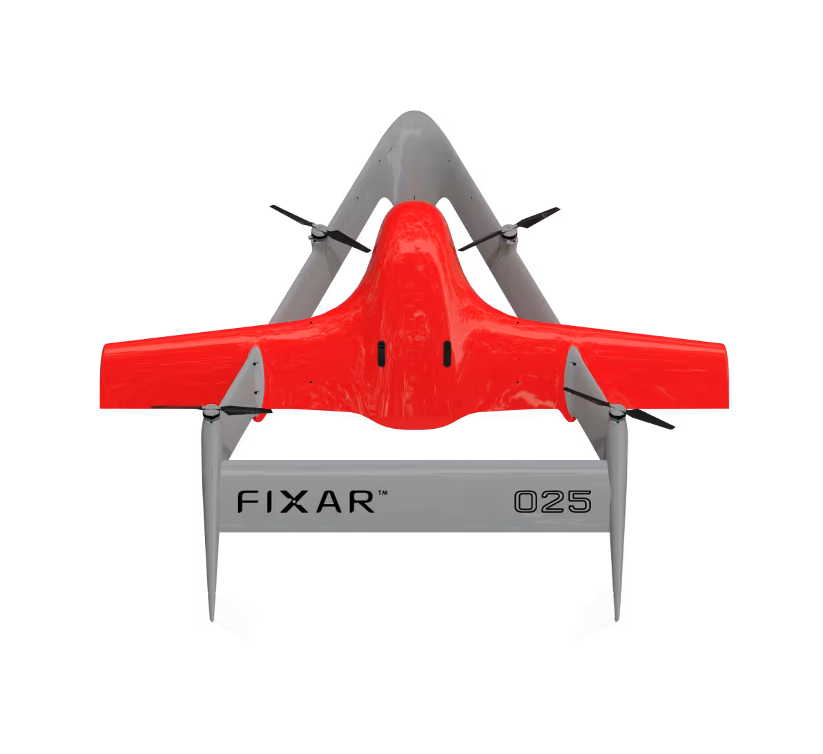
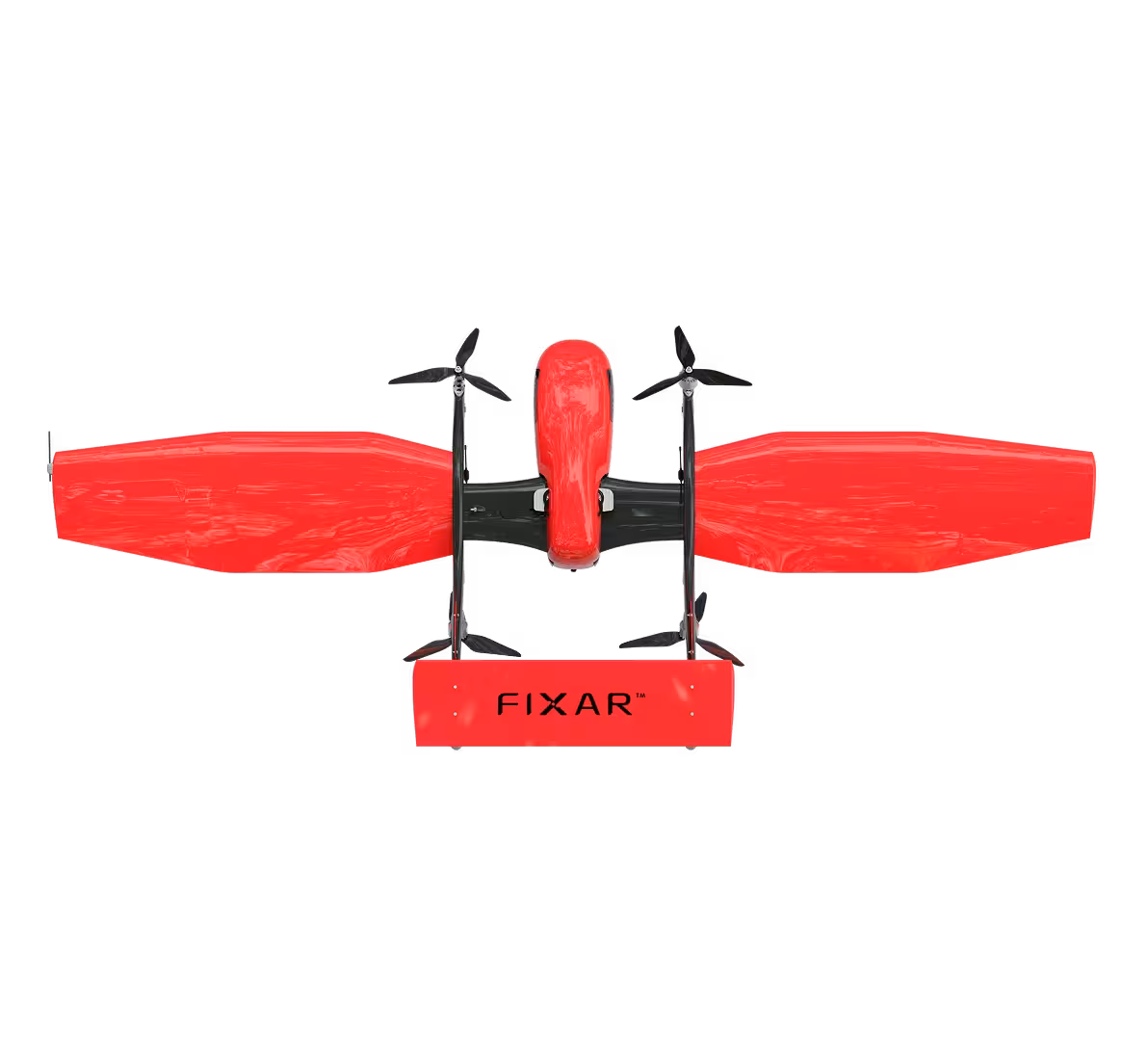
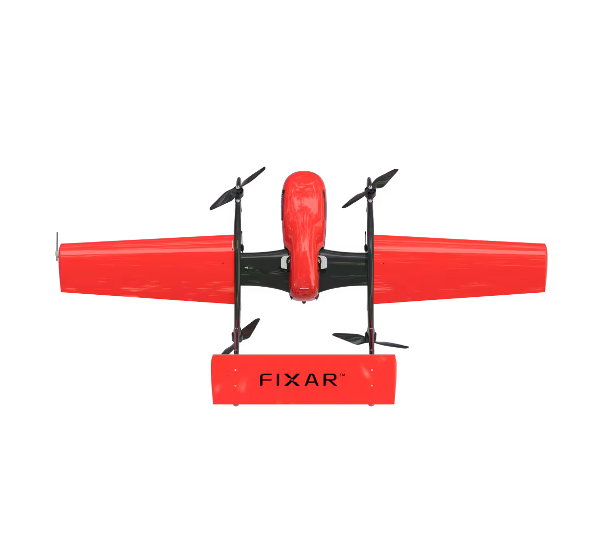
Optimal platform configuration, payload options, and system capabilities in just a few steps
Monitor wildlife, track migration, and habitat changes on land and water without disturbing ecosystems
Automated inspections of critical infrastructure such as gold mining sites, oil and gas pipelines, bridges, power lines, and facilities to reduce costs and enhance safety
Optimize crop management and forest valuation via aerial monitoring, detecting vegetation index, soil conditions, moisture levels, drainage forecasting, supporting organic farming, and refining field boundaries and maps
Capture high-resolution aerial images and geospatial data to deliver RGB/multispectral photos. Resulting in orthomosaics and 3D models (DSM, DEM), produced for construction, urban planning, moisture control, flood monitoring, surface mines, etc
High-precision aerial laser scanning for terrain mapping and 3D models, even in remote, dense forests, or hard-to-reach areas
Fast, reliable transport of medical supplies, vaccines, and essential goods to remote areas or during emergencies
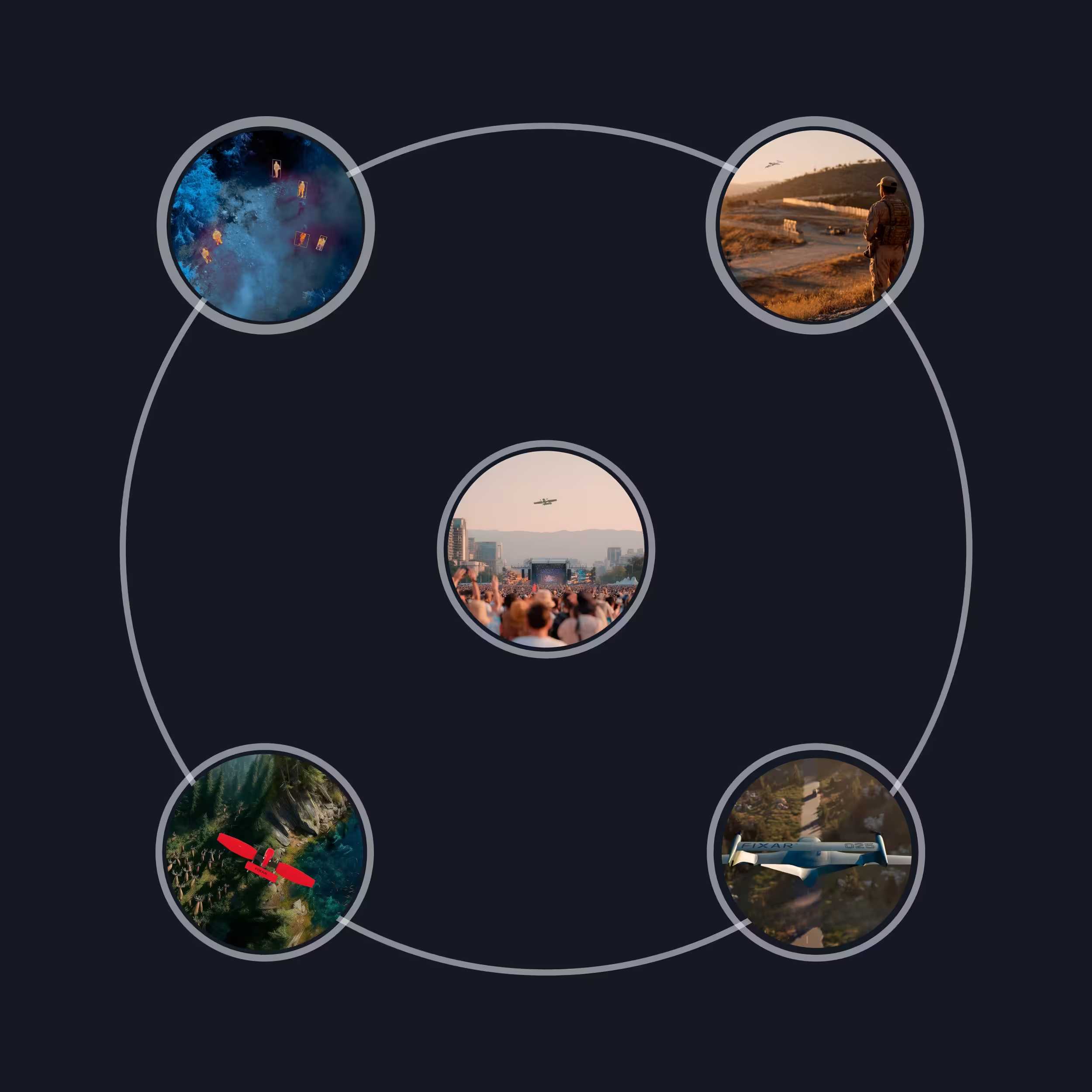
Identify and track illegal activities such as fishing, poaching, and drug cultivation in remote areas
AI tracking ensures continuous suspect surveillance while reducing officer risk and enabling dynamic target following
Capture high-resolution aerial imagery and 3D scene mapping for crime scene analysis and detailed forensic reconstructions
Live aerial video for high-risk missions like hostage rescues, enabling detailed recon of buildings and areas before entry
Enhance road safety through live traffic monitoring, automated violation detection, and rapid response to accidents
Detect unauthorized crossings and smuggling operations by monitoring vast border areas in real time
Deliver real-time aerial intelligence on critical situations such as fires, hazardous material spills, or structural collapses
Assess damage from natural disasters like floods, earthquakes, or wildfires, and identify survivors in need of rescue
Utilize UAVs as mobile communication mesh in areas with limited infrastructure or during large-scale emergencies
Assist in delivering critical supplies and medicine to disaster-stricken or inaccessible locations
Deploy thermal imaging and night vision payloads to locate missing persons in remote or hard-to-reach areas
Monitor large public gatherings, protests, or events to identify potential disturbances and manage crowd behavior in real time
flight distance
up to 300 km / 186 mi
flight time
up to 3.5 hours
up to 71 km / 44 mi
up to 100 min
up to 55 km / 34 mi
up to 70 min
0
%
completed
Your application isn’t listed? Describe your application and requirements, and our team will get back to you with a tailored recommendation
.svg)