.svg)
.svg)
.svg)
High performance and long endurance for demanding missions


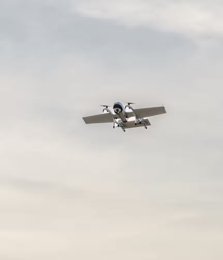
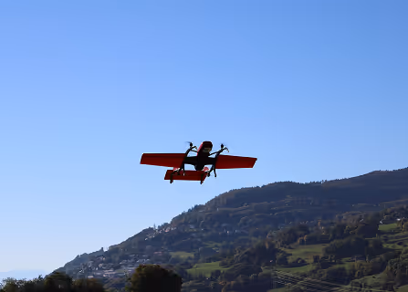
FIXAR 007 LE is a long-endurance VTOL UAV designed for commercial and public safety missions, combining intelligent autonomy with extended flight performance

Key advantages
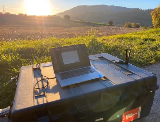
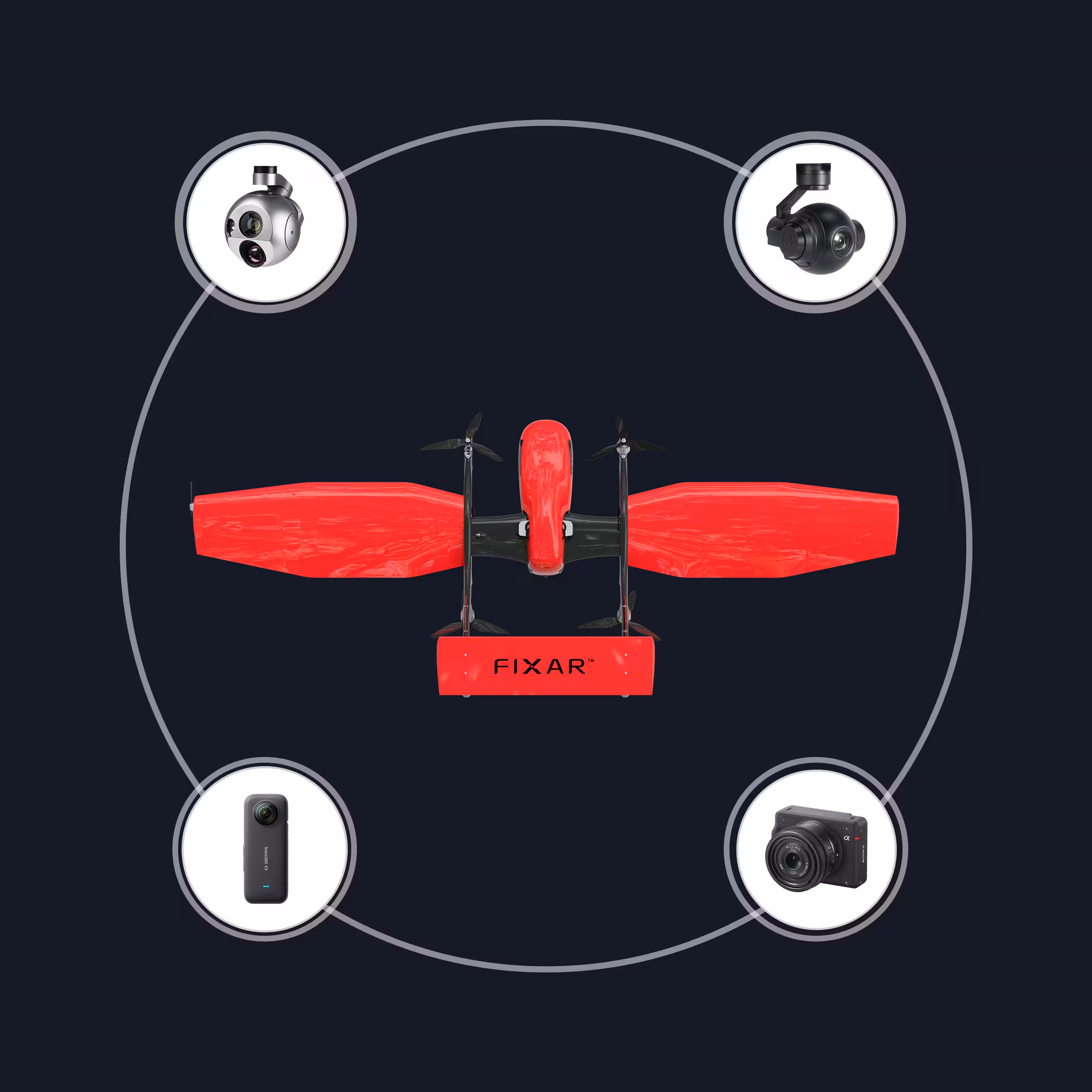
FIXAR xGroundControl Software
FIXAR xGCS lets you build and edit missions,
with real-time 3D visualization and terrain data

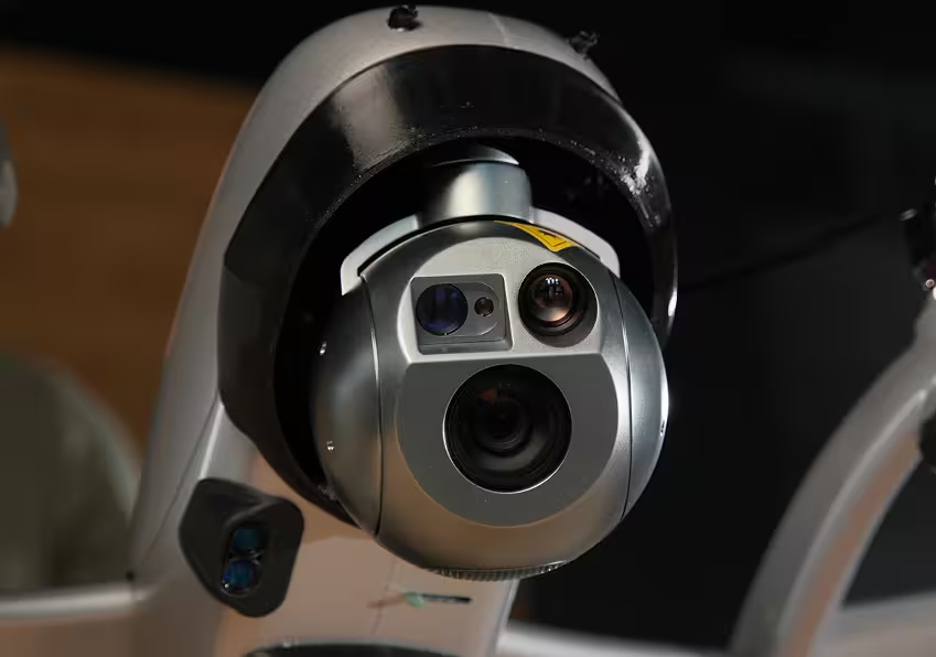
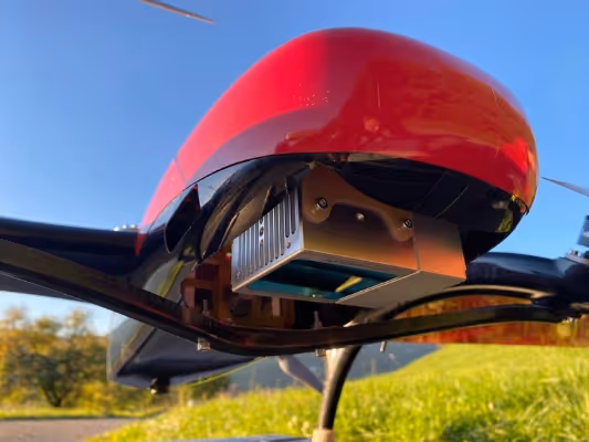
FIXAR Autopilot
Complete autonomous mission execution,
including takeoff, landing, and real-time surface track-and-follow
Payload efficiency
Delivers 0.28x payload-to-MTOW ratio, supports up to 2 kg (4.4 lb) payload with only 7 kg (15 lb) total weight
Extended capabilities
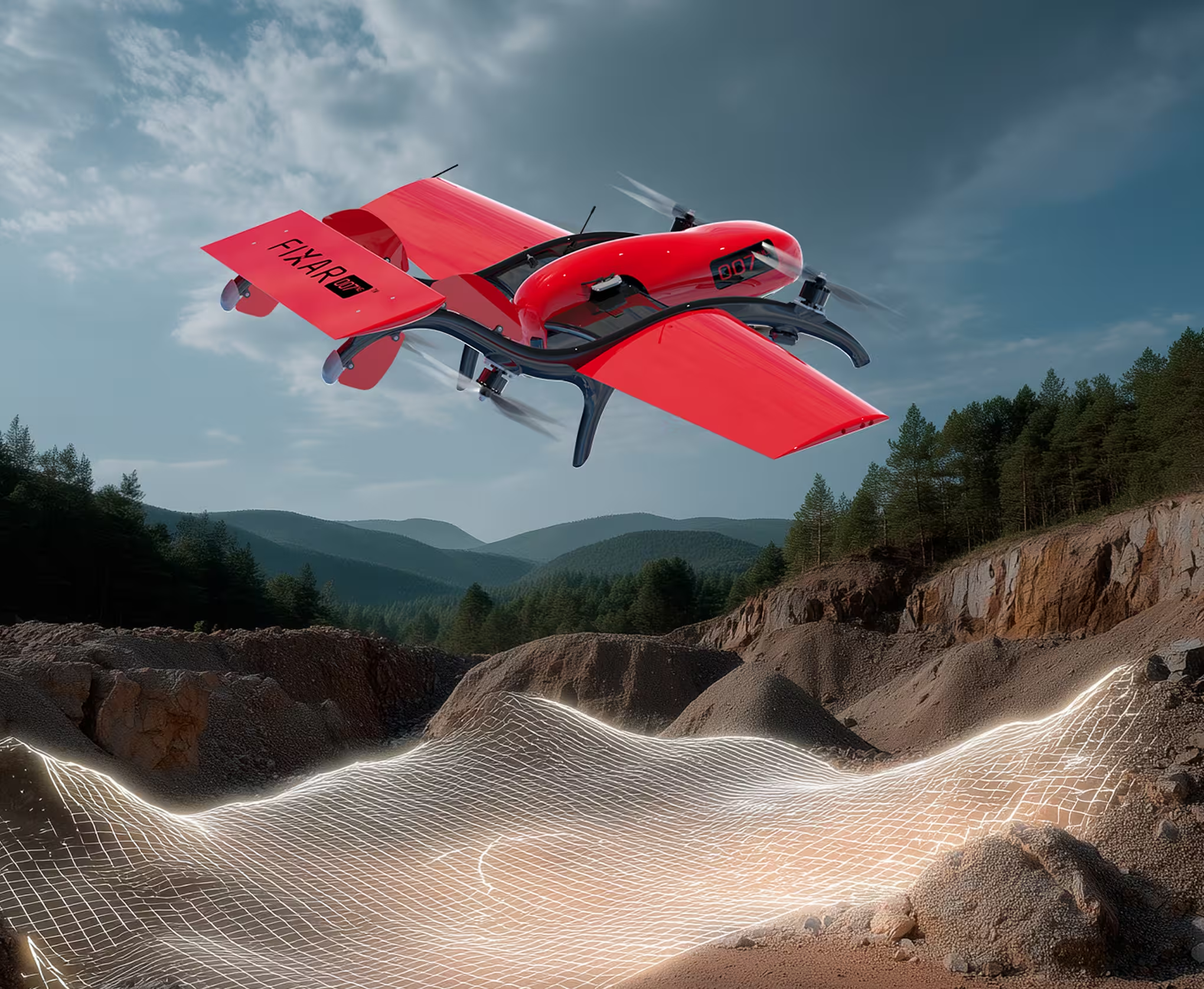
Covers up to 71 km (44 mi) flight distance, ideal for BVLOS mapping and infrastructure inspections
Technical specifications
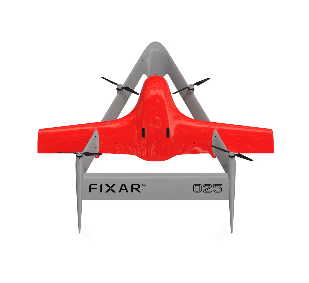
FIXAR 007 LE is a high-endurance electric VTOL UAV for mapping and inspection. With a 2.2 m (7.2 ft) wingspan, up to 100 minutes of flight, and up to 2 kg (4.4 lb) payload, it delivers extended flight distance and autonomy for professional use
2.2 m
100 min
71 km
2 kg
7 kg
7.2 ft
100 min
44 mi
4,4 lb
15 lb
Real scale comparison
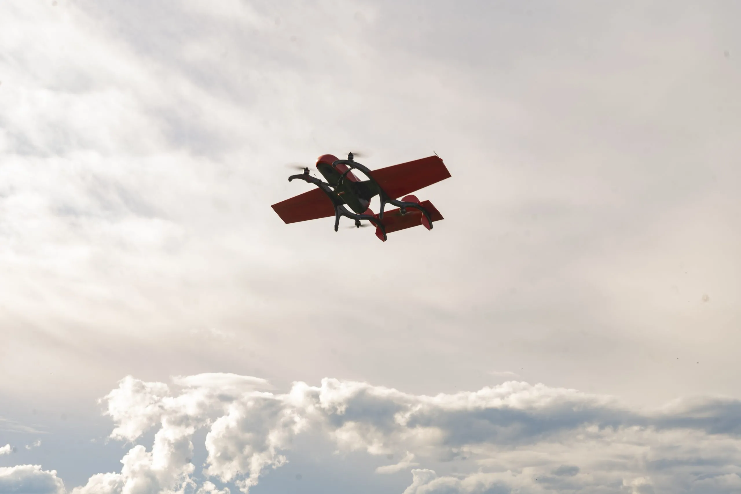
FIXAR 007 LE combines long flight time with compact build. With a wingspan of 2.2 m (7.2 ft) and maximum takeoff weight of 7 kg (15 lb), it is easy to transport and operate in the field by a single technician


Designed to fit the real world
FIXAR 007 LE is optimized for real conditions. Its quick setup, lightweight frame, and onboard autonomy enable reliable missions in remote or linear environments


Mission-ready UAV solutions for diverse industries and environments

Disaster management and recovery
Assess damage from natural disasters like floods, earthquakes, or wildfires, and identify survivors in need of rescue

Detecting illegal activities
Identify and track illegal activities such as fishing, poaching, and drug cultivation in remote areas
Search and rescue operations
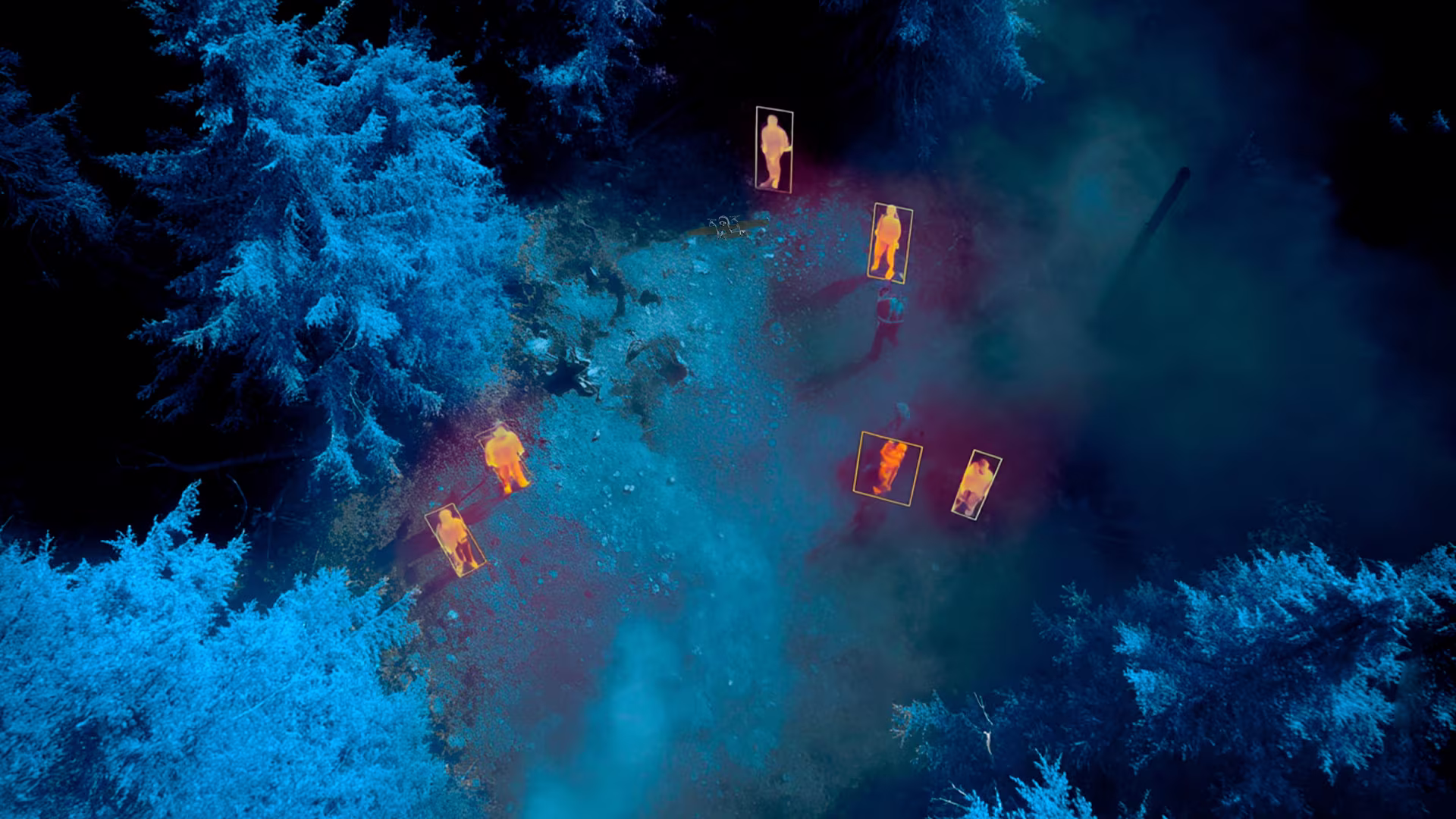
Deploy thermal imaging and night vision payloads to locate missing persons in remote or hard-to-reach areas
.svg)


.avif)
.avif)