.svg)
.svg)
.svg)
.avif)


.avif)
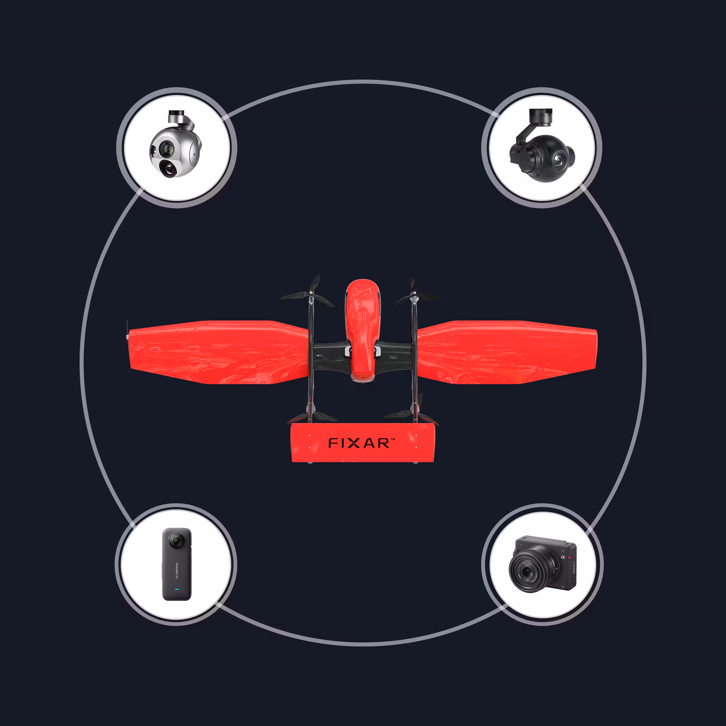
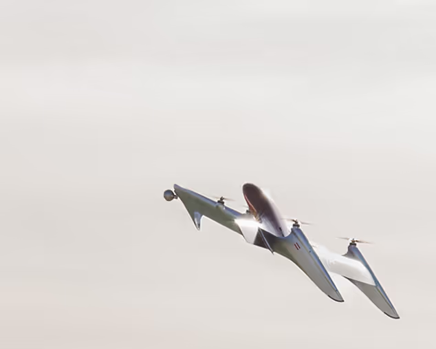
FIXAR 025 is a fully electric VTOL UAV engineered for demanding missions, combining smart autonomy with robust design

Key advantages
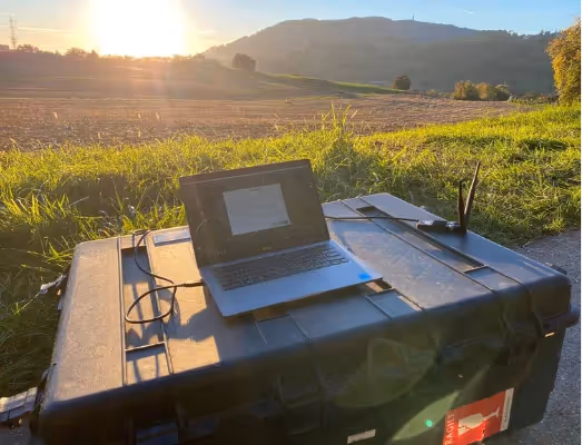
FIXAR xGroundControl Software
FIXAR xGCS lets you build and edit missions,
with real-time 3D visualization and terrain data
.avif)
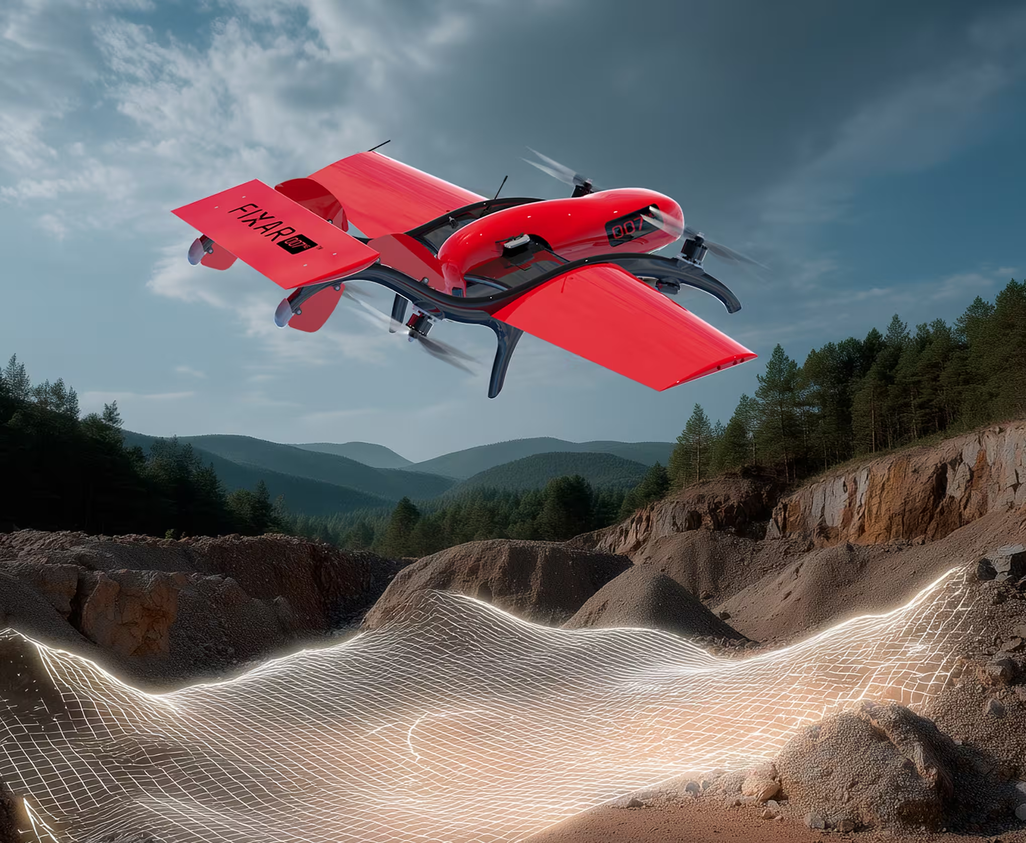
Extreme conditions
Performs reliably in GNSS-denied zones and at altitudes above 6,115 m / 20,062 ft
.avif)
FIXAR Autopilot
Complete autonomous mission execution, including takeoff, landing, and real-time surface track-and-follow
.avif)
Aerodynamic lift efficiency
92% of the body generates lift, allowing payloads up to 40% of MTOW with high endurance and altitude stability
.avif)

Technical specifications
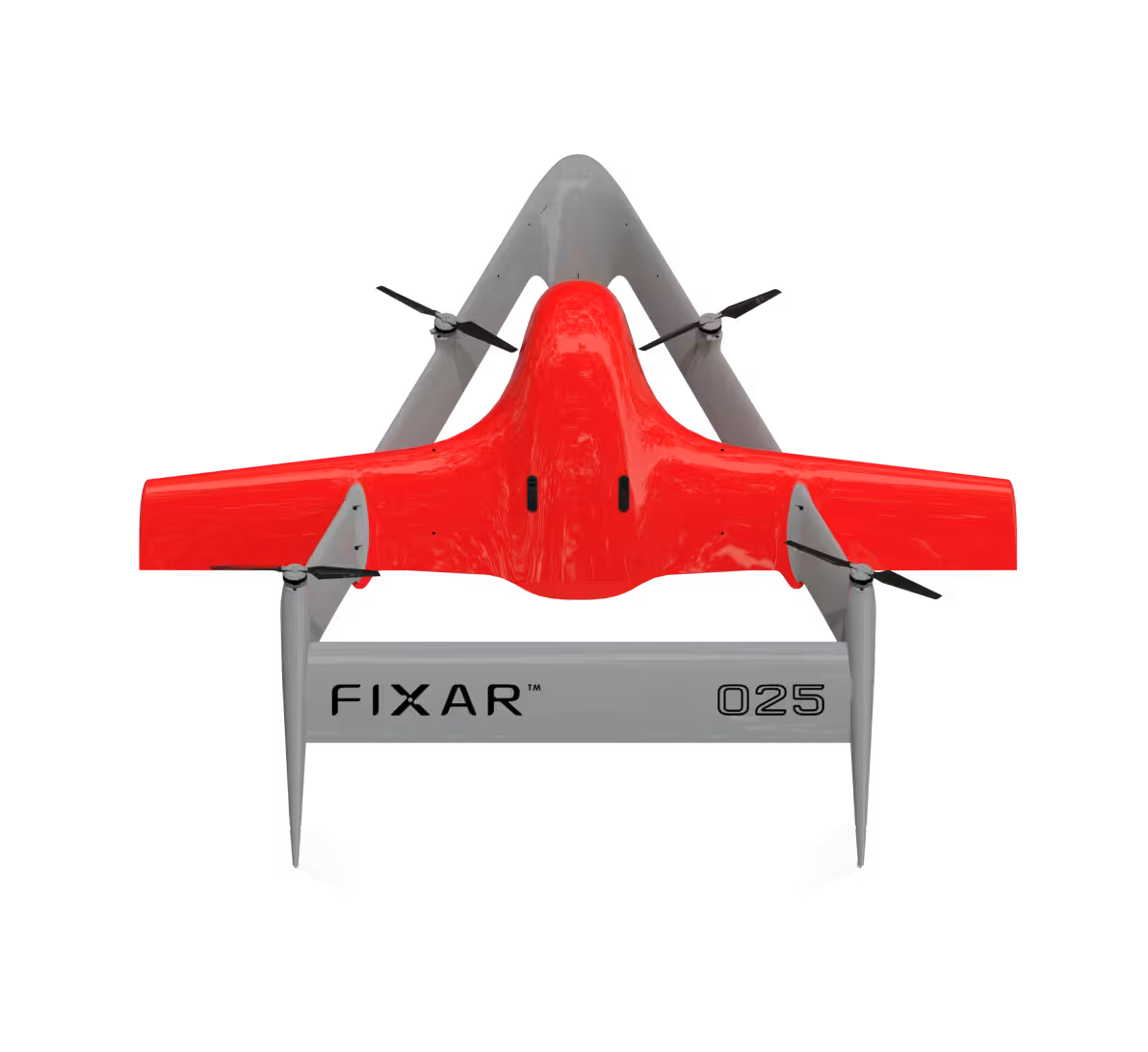
FIXAR 025 is a fully electric, fixed-wing VTOL UAV engineered for endurance and performance. Up to 210 minutes (3.5 hours) of flight time, 300 km (186 mi) flight distance, and up to 10 kg (22 lb) payload capacity. It delivers unmatched autonomy for complex missions. Built with aviation-grade materials and proprietary software, FIXAR 025 is designed to perform in real-world conditions
2.9 m
210 min
300 km
10 kg
24.9 kg
9.5 ft
210 min
186 mi
22 lb
54.9 lb
Real scale comparison
Despite its powerful specs and long flight distance capabilities, FIXAR 025 remains compact and field-deployable. With a wingspan of just a 2.9 m (9.5 ft) and a body length of 2.4 m (7.9 ft), the UAV fits in two transport cases and can be assembled and ready for flight in just 10 minutes


Flight altitude above sea level
FIXAR 025 is engineered to fly in high-altitude environments, reaching up to 6,115 m (20,062 ft) above sea level. This unmatched performance makes it ideal for BVLOS operations, surveillance, mapping, and emergency response in mountainous terrain and extreme conditions


Mission-ready UAV solutions for diverse industries and environments
.jpg)
Emergency response
Assist in delivering critical supplies, such as medicine or food, to disaster-stricken or inaccessible locations

Remote communication and control
Utilize UAVs as mobile communication relays in areas with limited infrastructure or during large-scale emergencies

Border patrol and surveillance
Detect unauthorized crossings and smuggling operations by monitoring vast border areas in real time
.svg)

.avif)
.avif)