{{photo-1="/custom-photos-elem"}}
Vasilii Fainveits, FIXAR Founder
{{007NG="/custom-photos-elem"}}
{{photo-2="/custom-photos-elem"}}
Vasilii Fainveits, FIXAR Founder
{{photogrammetry-1="/custom-photos-elem"}}
Photogrammetry: Orthomosaics map of Mount Elbrus
LiDAR: point cloud of a peat bog
{{photogrammetry-2="/custom-photos-elem"}}
Photogrammetry: Digital Elevation Models (DSM/DTM) – Elevation model of the terrain of one of the slopes of Mount Elbrus.
LiDAR: 3D elevation point cloud of the city viewData courtesy of The Latvian Geospatial Information Agency
{{photogrammetry-3="/custom-photos-elem"}}
Photogrammetry: 3D Tin model of a mountainous area
LiDAR: Initial LiDAR terrain model over a digital map
{{photo-3="/custom-photos-elem"}}
photo-3
Vasilii Fainveits, FIXAR Founder
{{name="/custom-photos-elem"}}
name
Vasilii Fainveits, FIXAR Founder
{{photo-vert="/custom-photos-elem"}}

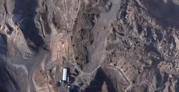
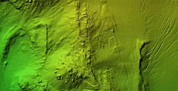
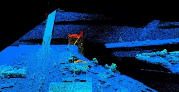
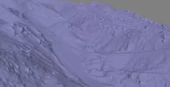
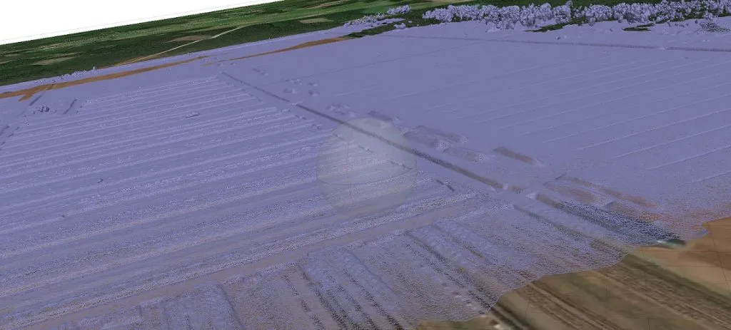
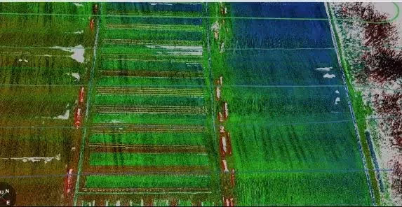
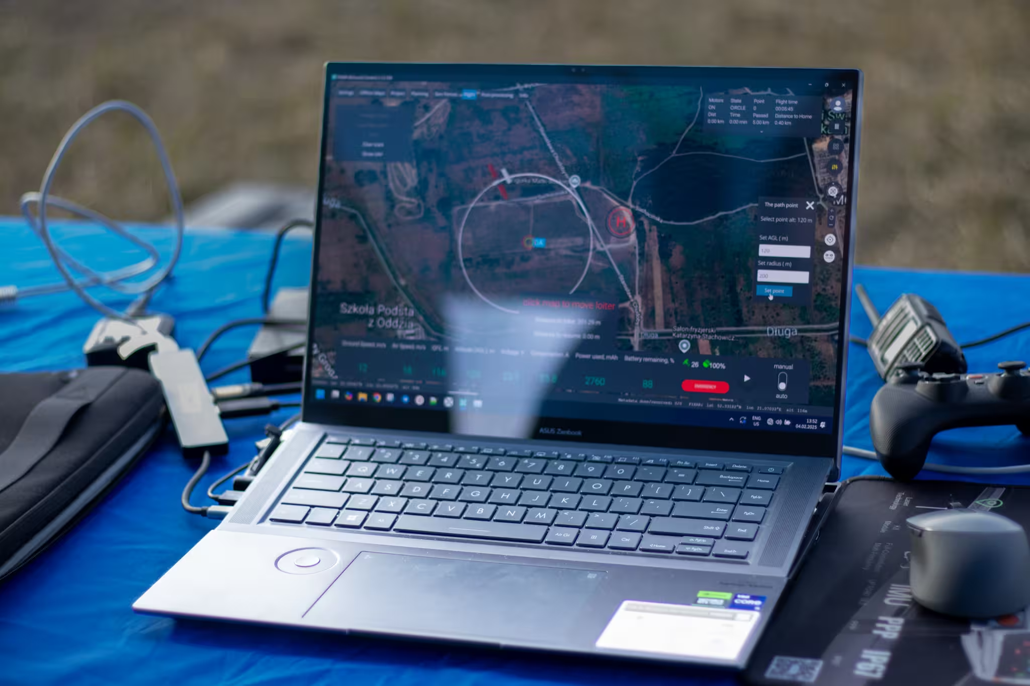
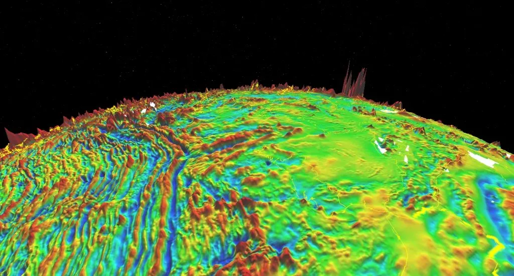
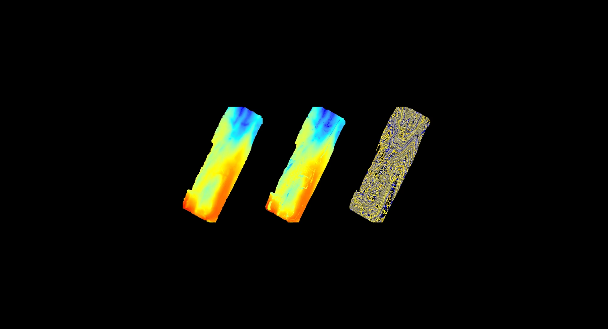
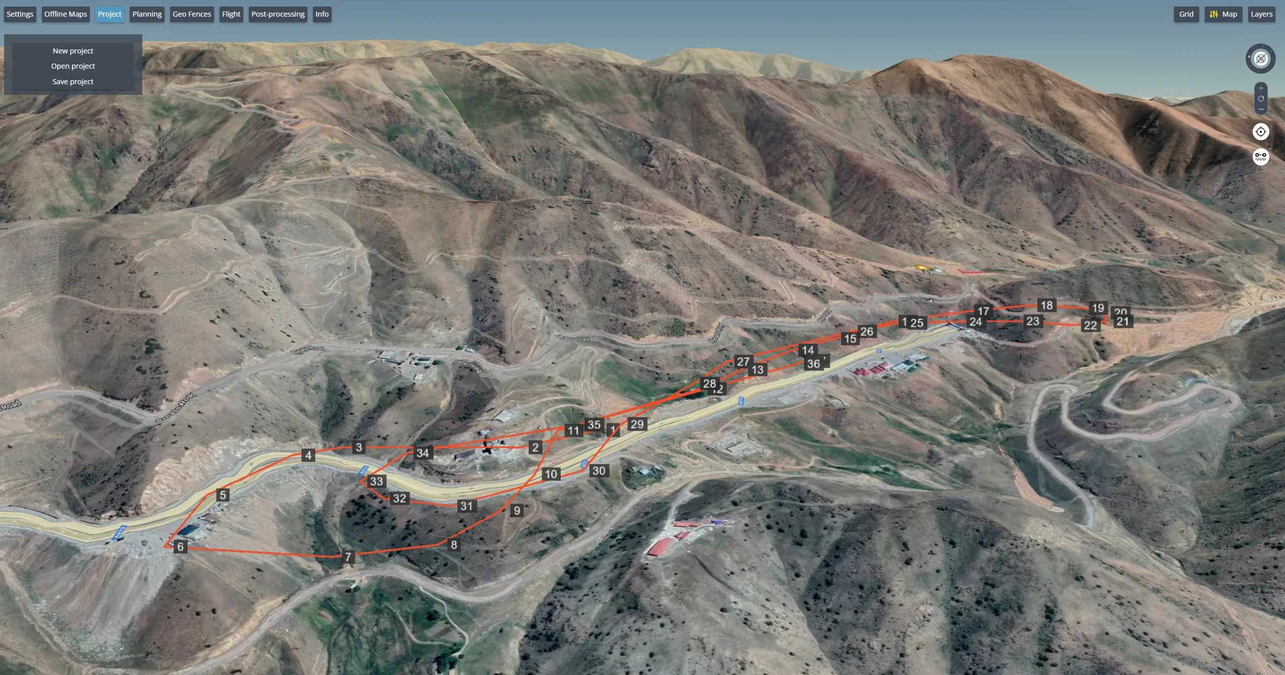
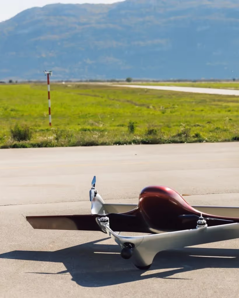
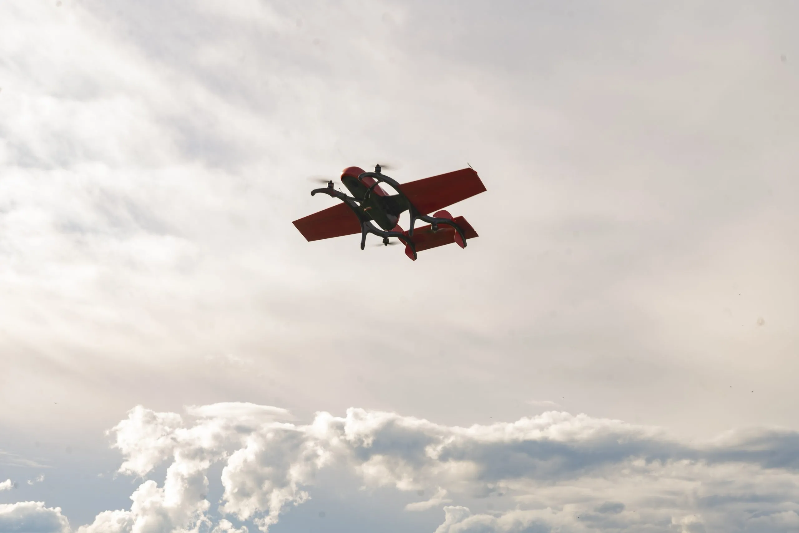
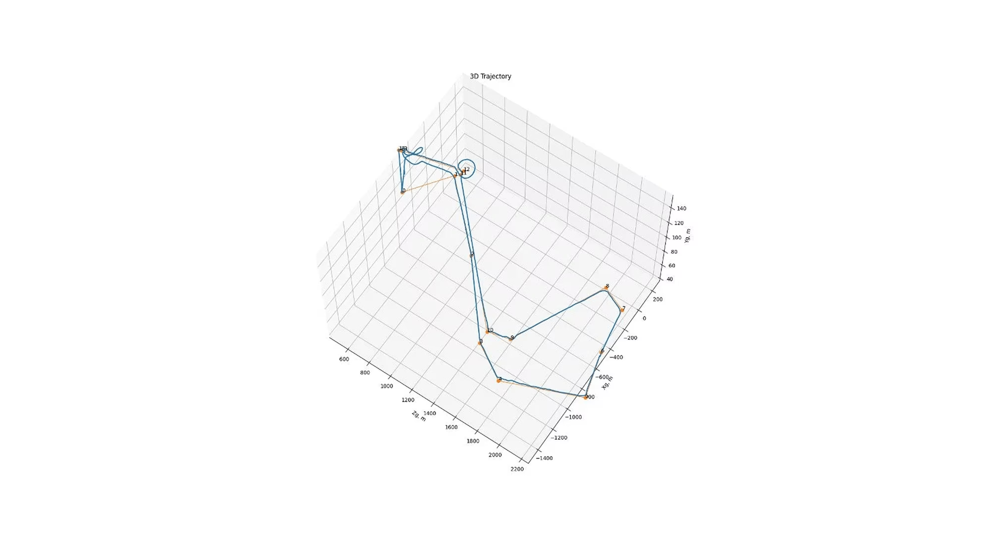
The following days FIXAR 007 NG with LIDAR ULTRA on board successfully covered 2.5 km2 (617 acres) per flight with 100 meters (328 ft) distance between flight lines (71% overlapping) from 100 meters (328 ft) altitude. As soon as the distance between routs was increased up to 200 meters (656 ft) (43% overlapping), it was possible to achieve even higher efficiency results covering 4 km2 (988 acres) per flight by high precision and detailed LIDAR pointing just a little over half an hour

{{photo-4="/custom-photos-elem"}}
{{elbrus="/custom-photos-elem"}}
{{geofences-2="/custom-photos-elem"}}
Marked survey area and yellow public area – FIXAR xGroundControl Software
{{geofences-1="/custom-photos-elem"}}
lidar-1
Map with warning and restriction zones – FIXAR xGroundControl Software
Map with warning and restriction zones – Air Traffic Control Centre of Latvia airspace map
{{geofences-3="/custom-photos-elem"}}
lidar-1
Map with no-fly fence built by operator – FIXAR xGroundControl Software
The ERROR alert stating that mission plan conflicts with fenced area – FIXAR xGroundControl Software
{{lidar-1="/custom-photos-elem"}}
lidar-1
FIXAR xGroundControl Software for mission planning
{{lidar-2="/custom-photos-elem"}}
lidar-2
TOPODRONE LiDAR systems
{{lidar-horyzontal="/custom-photos-elem"}}
{{video-code="/custom-photos-elem"}}
{{video-code-2="/custom-photos-elem"}}
{{MONITORING="/custom-photos-elem"}}

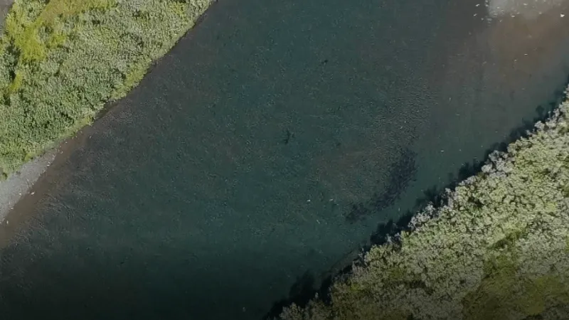
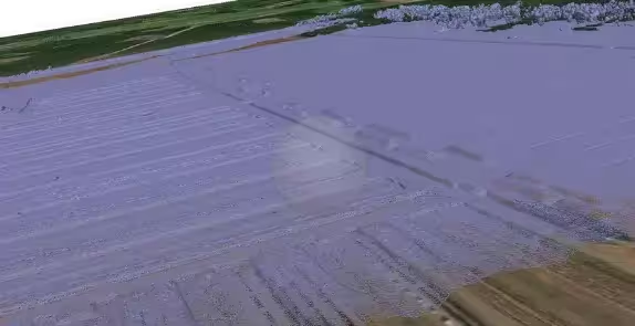
As a result of the video monitoring surveys, crucial information on the distribution and abundance of Pacific salmon was collected and is used for further research of spawning grounds.

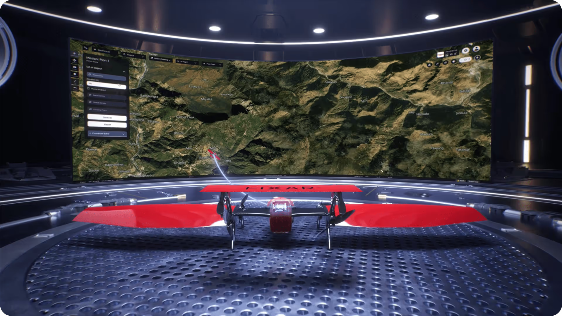
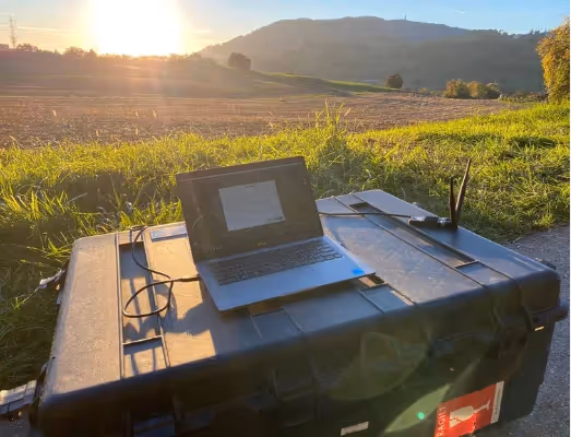
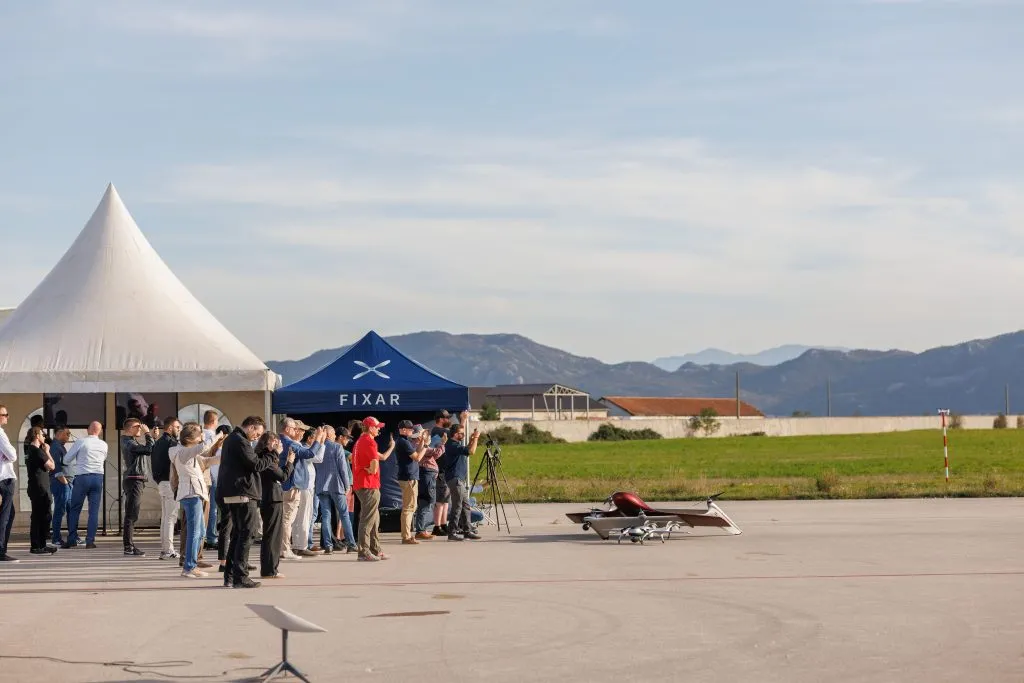
Watch The Mission Video

{{building="/custom-photos-elem"}}
{{elbrus-video="/custom-photos-elem"}}
{{building2="/custom-photos-elem"}}
{{magnetic="/custom-photos-elem"}}
EMAG2: Earth Magnetic Anomaly Grid | Image courtesy of BGR, GeoMag
{{make-money="/custom-photos-elem"}}
lidar-3
{{lidar-3="/custom-photos-elem"}}
lidar-3
{{lidar-4="/custom-photos-elem"}}
DEM, DTM and contour lines
{{mission-1="/custom-photos-elem"}}
{{workforce="/custom-photos-elem"}}
{{pipelines="/custom-photos-elem"}}
{{powerlines="/custom-photos-elem"}}
{{wind-mills="/custom-photos-elem"}}
{{mission-panning="/custom-photos-elem"}}
{{mission-2="/custom-photos-elem"}}
{{mission-3="/custom-photos-elem"}}
{{premiere-1="/custom-photos-elem"}}
Chris Corgnati, Director and CEO of FIXAR Global
{{premiere-2="/custom-photos-elem"}}
Vasilii Fainveits, FIXAR Founder
{{premiere-3="/custom-photos-elem"}}
Partners and clients are testing the manual mode of FIXAR UAVs
{{premiere-4="/custom-photos-elem"}}
FIXAR 007 fast-deployment demo
{{premiere-5="/custom-photos-elem"}}
lidar-3
FIXAR 025 is ready for the mission
FIXAR 025 is taking off into action
{{premiere-7="/custom-photos-elem"}}
FIXAR 007: ISR deployment ready
{{premiere-8="/custom-photos-elem"}}
FIXAR Global Inc. and KYM Co. Ltd. sign the agreement for the order of 10 units of the FIXAR 025
{{premiere-9="/custom-photos-elem"}}
FIXAR Global Inc. and KYM Co. Ltd. sign the agreement for the order of 10 units of the FIXAR 025
{{premiere-10="/custom-photos-elem"}}
FIXAR Global Inc. and KYM Co. Ltd. sign the agreement for the order of 10 units of the FIXAR 025
{{premiere-11="/custom-photos-elem"}}
FIXAR Global Inc. and KYM Co. Ltd. sign the agreement for the order of 10 units of the FIXAR 025
{{premiere-12="/custom-photos-elem"}}
Demo team in TORSUS TERRASTORM vehicle
{{premiere-13="/custom-photos-elem"}}
Synergy in motion: The FIXAR and TORSUS partnership unveiled
{{premiere-14="/custom-photos-elem"}}
TOPODRONE showcases its payloads for FIXAR UAVs
{{premiere-15="/custom-photos-elem"}}
Clients and partners are impressed by the technical capabilities of FIXAR eVTOL
{{premiere-16="/custom-photos-elem"}}
A  moment to remember: the FIXAR 025 UAV takes center stage
{{wildfire-1="/custom-photos-elem"}}
{{wildfire-2="/custom-photos-elem"}}
{{xponential-1="/custom-photos-elem"}}
{{poland-1="/custom-photos-elem"}}
{{MEDICAL-1="/custom-photos-elem"}}
{{MEDICAL-2="/custom-photos-elem"}}
{{MEDICAL-3="/custom-photos-elem"}}
{{AUTONOMOUS-1="/custom-photos-elem"}}
The complex mountainous flight area with a planned mission flight route
{{AUTONOMOUS-2="/custom-photos-elem"}}
The 3D trajectory of the flight. The altitude shown is QFE (heights are relative to the starting point of the UAV flight, where the starting point is an absolute ZERO – in all coordinates)
{{AUTONOMOUS-3="/custom-photos-elem"}}
Flight absolute altitude during the mission with the maximum reach of 6,115 m (20,062 ft)
{{EBRD-1="/custom-photos-elem"}}
{{environmental-1="/custom-photos-elem"}}
Initial LiDAR terrain model over a digital map
{{environmental-2="/custom-photos-elem"}}
LiDAR point cloud showing terrain elevations in the bog
{{urban-1="/custom-photos-elem"}}
urban-1
{{setup-1="/custom-photos-elem"}}
setup-1
{{FIXAR-1="/custom-photos-elem"}}
{{FIXAR-2="/custom-photos-elem"}}
{{FIXAR-3="/custom-photos-elem"}}
{{FIXAR-4="/custom-photos-elem"}}
{{FIXAR-5="/custom-photos-elem"}}
{{FIXAR-6="/custom-photos-elem"}}
{{FIXAR-7="/custom-photos-elem"}}
{{FIXAR-8="/custom-photos-elem"}}